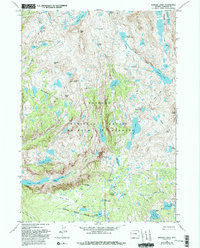
1968 Map of Bridger Lakes
USGS Topo · Published 1993About this map
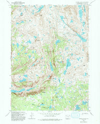
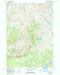
Island Lake and the high basins of the Bridger Wilderness define this high-altitude landscape in the Wind River Range. Surveyed in 1968, the map illustrates a complex alpine topography where glaciers carved out deep basins now filled by the Titcomb Lakes, Seneca Lake, and the sprawling Sweeney Lakes chain. The network of paths, including the Highline Trail and the Indian Pass Trail, suggests the area's long-standing importance for back-country traversal and recreation within the Bridger National Forest. Notable landmarks such as Photographers Point and Fremont Crossing provide specific nodes of human orientation within the intricate drainage patterns of Bridger Creek and Pole Creek. Peaks like Mount Lester and Guiterrez Peak anchor the ridgelines that separate these high-water systems.
Find a feature on this map
55 named features on this map. Tap any name to fly to it.
Don’t see what you’re looking for? This feature index may not catch every label — zoom into the map to look around manually.
Map Details
Editions of this 1968 Bridger Lakes Map
6 editions found
Other maps of this area

1909 · Fremont Peak
USGS Topo · 1:125,000

1955 · Thermopolis
USGS Topo · 1:250,000

1955 · Lander
USGS Topo · 1:250,000

1958 · Lander
USGS Topo · 1:250,000

1958 · Thermopolis
USGS Topo · 1:250,000

1961 · Lander
USGS Topo · 1:250,000

1962 · Thermopolis
USGS Topo · 1:250,000

1964 · Fremont Lake South
USGS Topo · 1:24,000
1968 · Fayette Lake
USGS Topo · 1:24,000

1968 · Fremont Peak North
USGS Topo · 1:24,000