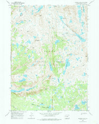
1968 Map of Bridger Lakes
USGS Topo · Published 1985About this map
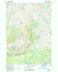
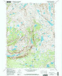
Bridger Wilderness and the Bridger National Forest dominate this high-altitude survey, revealing a landscape defined by glacial activity and backcountry exploration. The network of trails, including the Highline Trail and Pole Creek Trail, connects numerous alpine basins such as Titcomb Basin and the expansive Island Lake. The map details a remarkably dense collection of water bodies, from the prominent Seneca Lake and Titcomb Lakes to smaller, curiously named features like Mistake Lake and Sauerkraut Lakes.
Find a feature on this map
49 named features on this map. Tap any name to fly to it.
Don’t see what you’re looking for? This feature index may not catch every label — zoom into the map to look around manually.
Map Details
Editions of this 1968 Bridger Lakes Map
6 editions found
Other maps of this area

1909 · Fremont Peak
USGS Topo · 1:125,000

1955 · Thermopolis
USGS Topo · 1:250,000

1955 · Lander
USGS Topo · 1:250,000

1958 · Lander
USGS Topo · 1:250,000

1958 · Thermopolis
USGS Topo · 1:250,000

1961 · Lander
USGS Topo · 1:250,000

1962 · Thermopolis
USGS Topo · 1:250,000

1964 · Fremont Lake South
USGS Topo · 1:24,000
1968 · Fayette Lake
USGS Topo · 1:24,000

1968 · Fremont Peak North
USGS Topo · 1:24,000