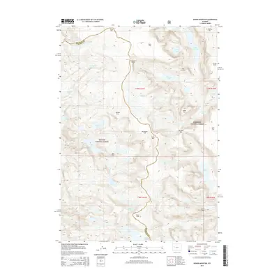
2015 Map of Downs Mountain
USGS Topo · Published 2015About this map
The Continental Divide winds through this high-altitude landscape of the Wind River Range, serving as the boundary between the Bridger National Forest to the west and the Shoshone National Forest to the east. Dominated by massive peaks such as Downs Mtn and Torrey Peak, the area is characterized by significant glaciation, including the Continental Glacier, Downs Glacier, and Grasshopper Glacier. This 2015 survey illustrates a wilderness defined by water and ice, where drainage systems like Jakeys Fork and W Torrey Cr feed into alpine basins. Large water bodies such as Ross Lake and Mile Long Lake sit among high plateaus like Ram Flat and Goat Flat. The map also details several high-elevation passes and basins, including No Mans Pass and Bear Basin, illustrating the complex topographic barriers of the Wyoming interior.
Find a feature on this map
49 named features on this map. Tap any name to fly to it.
Don’t see what you’re looking for? This feature index may not catch every label — zoom into the map to look around manually.
Map Details
Editions of this 2015 Downs Mountain Map
This is the sole edition of this map. No revisions or reprints were ever made.
Other maps of this area

1909 · Fremont Peak
USGS Topo · 1:125,000

1955 · Thermopolis
USGS Topo · 1:250,000

1958 · Thermopolis
USGS Topo · 1:250,000

1962 · Thermopolis
USGS Topo · 1:250,000
1968 · Union Peak
USGS Topo · 1:24,000
1968 · Torrey Lake
USGS Topo · 1:24,000
1968 · Ink Wells
USGS Topo · 1:24,000
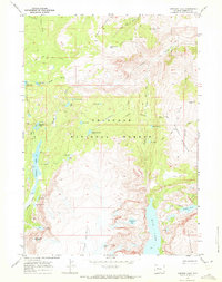
1968 · Simpson Lake
USGS Topo · 1:24,000

1968 · Fremont Peak North
USGS Topo · 1:24,000
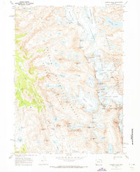
1968 · Gannett Peak
USGS Topo · 1:24,000