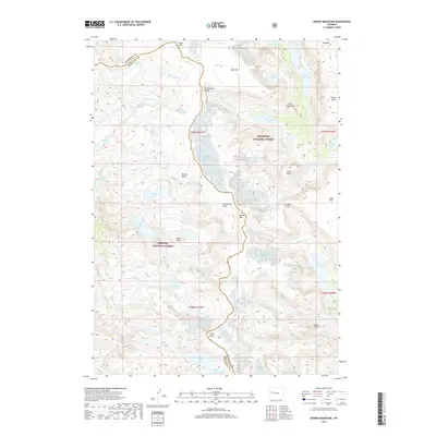
2017 Map of Downs Mountain
USGS Topo · Published 2017About this map
The Continental Divide winds through the heart of this high-altitude landscape, forming the natural boundary between Shoshone National Forest to the east and Bridger National Forest to the west. This segment of the Wind River Range is defined by a dense concentration of glacial features and prominent summits, including Downs Mtn, Torrey Peak, and Yukon Peak. The hydrological patterns are complex, with headwaters like Downs Fork and Roaring Fork feeding into a network of alpine basins. The map documents numerous remote water bodies such as Ross Lake, Mile Long Lake, and the curiously named Bomber Lake. Terrain features like No Mans Pass and Ram Flat highlight the challenging topography that has historically shaped travel and land management along the Fremont and Sublette County line.
Find a feature on this map
45 named features on this map. Tap any name to fly to it.
Don’t see what you’re looking for? This feature index may not catch every label — zoom into the map to look around manually.
Map Details
Editions of this 2017 Downs Mountain Map
This is the sole edition of this map. No revisions or reprints were ever made.
Other maps of this area

1909 · Fremont Peak
USGS Topo · 1:125,000

1955 · Thermopolis
USGS Topo · 1:250,000

1958 · Thermopolis
USGS Topo · 1:250,000

1962 · Thermopolis
USGS Topo · 1:250,000
1968 · Union Peak
USGS Topo · 1:24,000
1968 · Torrey Lake
USGS Topo · 1:24,000
1968 · Ink Wells
USGS Topo · 1:24,000
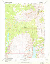
1968 · Simpson Lake
USGS Topo · 1:24,000

1968 · Fremont Peak North
USGS Topo · 1:24,000
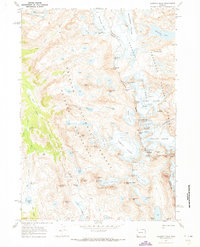
1968 · Gannett Peak
USGS Topo · 1:24,000