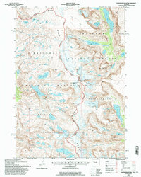
1991 Map of Downs Mountain
USGS Topo · Published 1997About this map
The Continental Divide serves as the spine of this high-elevation survey, tracing the boundary between Fremont and Sublette counties. Dominated by massive glacial systems and high peaks, the area includes the sprawling Downs Glacier and the namesake Downs Mountain. To the east, the landscape drops into the drainage basins of Ross Lake and Upper Ross Lake, while the west is characterized by the broad reaches of Bear Basin.
Find a feature on this map
43 named features on this map. Tap any name to fly to it.
Don’t see what you’re looking for? This feature index may not catch every label — zoom into the map to look around manually.
Map Details
Editions of this 1991 Downs Mountain Map
This is the sole edition of this map. No revisions or reprints were ever made.
Other maps of this area

1909 · Fremont Peak
USGS Topo · 1:125,000

1955 · Thermopolis
USGS Topo · 1:250,000

1958 · Thermopolis
USGS Topo · 1:250,000

1962 · Thermopolis
USGS Topo · 1:250,000
1968 · Union Peak
USGS Topo · 1:24,000
1968 · Torrey Lake
USGS Topo · 1:24,000
1968 · Ink Wells
USGS Topo · 1:24,000
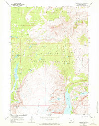
1968 · Simpson Lake
USGS Topo · 1:24,000

1968 · Fremont Peak North
USGS Topo · 1:24,000
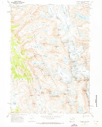
1968 · Gannett Peak
USGS Topo · 1:24,000