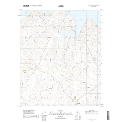
2020 Map of Downsville North
USGS Topo · Published 2020About this map
Downsville sits at the southern edge of this Union Parish landscape, where the local road network converges near the Downsville Cem. The terrain is defined by the northern reaches of Bayou D'Arbonne Lake, with its irregular shoreline reaching into the timbered hills. This survey records a high density of rural burial sites, including Sardis Cem, Feazel Cem, and Mount Nebo Cem, providing significant data for genealogists tracing family histories in the D'Arbonne area. Waterways like Stowe Creek and Cypress Cr carve through the parish, illustrating the drainage patterns that shaped early settlement and road placement. The proximity of D'Arbonne and the network of parish roads, such as Hartwick Rd and Holmesville Rd, reveal a rural community structure deeply tied to the natural hydrology of North Louisiana.
Find a feature on this map
91 named features on this map. Tap any name to fly to it.
Don’t see what you’re looking for? This feature index may not catch every label — zoom into the map to look around manually.
Map Details
Editions of this 2020 Downsville North Map
This is the sole edition of this map. No revisions or reprints were ever made.
Other maps of this area

1950 · Ruston
USGS Topo · 1:62,500

1951 · Ruston
USGS Topo · 1:62,500

1951 · Bernice
USGS Topo · 1:62,500

1952 · Calhoun
USGS Topo · 1:62,500

1952 · Farmerville
USGS Topo · 1:62,500

1955 · Shreveport
USGS Topo · 1:250,000

1956 · Shreveport
USGS Topo · 1:250,000
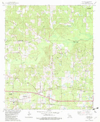
1982 · Calhoun
USGS Topo · 1:24,000
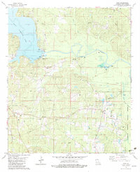
1982 · Point
USGS Topo · 1:24,000
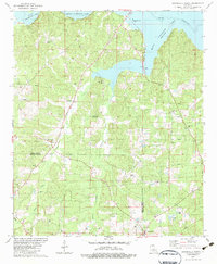
1982 · Downsville North
USGS Topo · 1:24,000