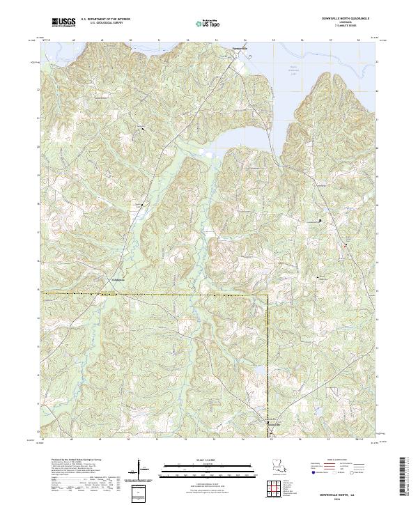
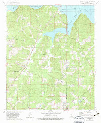
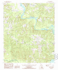
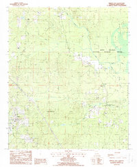
2024 Map of Downsville North
USGS Topo · Published 2024This historical map portrays the area of Downsville North in 2024, primarily covering Union Parish as well as portions of Lincoln Parish. Featuring a scale of 1:24000, this map provides a highly detailed snapshot of the terrain, roads, buildings, counties, and historical landmarks in the Downsville North region at the time. Published in 2024, it is the sole known edition of this map.
Find a feature on this map
90 named features on this map. Tap any name to fly to it.
Don’t see what you’re looking for? This feature index may not catch every label — zoom into the map to look around manually.
Map Details
Editions of this 2024 Downsville North Map
This is the sole edition of this map. No revisions or reprints were ever made.
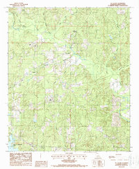
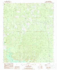
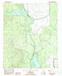
Historical Maps of D'Arbonne Pointe Through Time
26 maps found
1935 Haile
Union Parish, LA
1956 Haile
Union Parish, LA
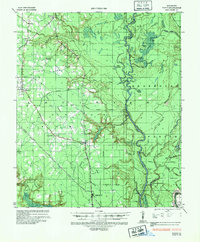
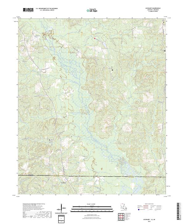
1981 Lockhart
Union Parish, LA
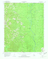
1982 Downsville North
Union Parish, LA
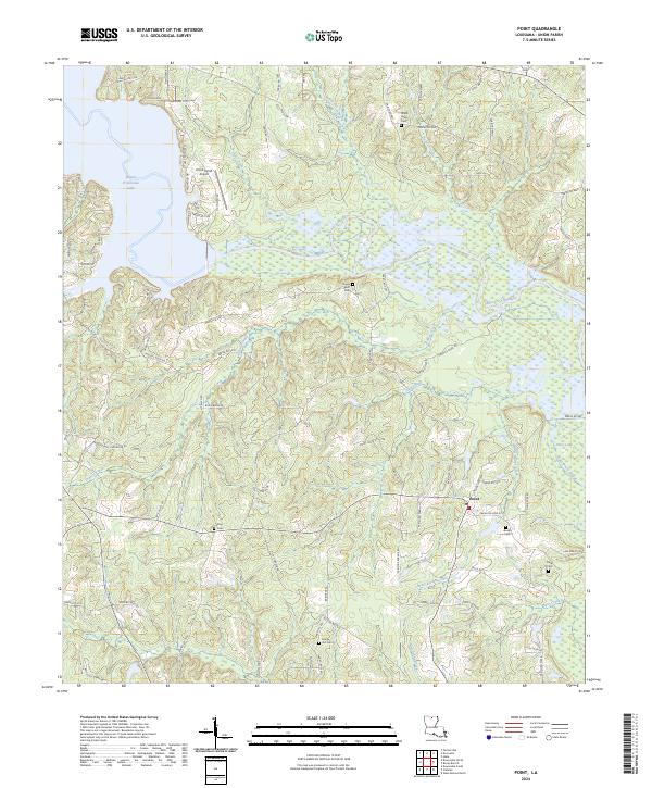
1982 Point
Union Parish, LA
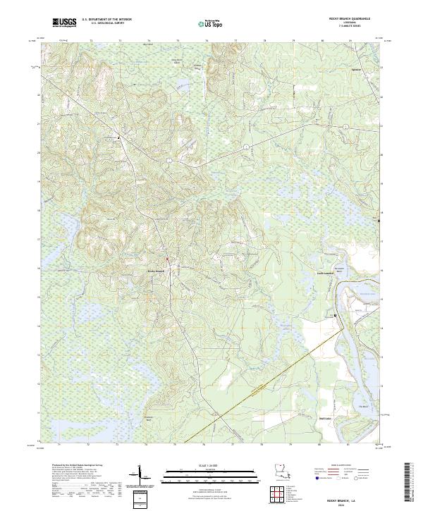
1982 Rocky Branch
Union Parish, LA
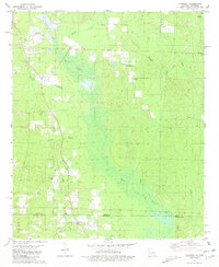
1985 Monroe North
Union Parish, LA
1985 Shiloh
Union Parish, LA
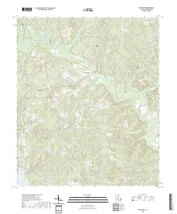
1988 De Loutre
Union Parish, LA
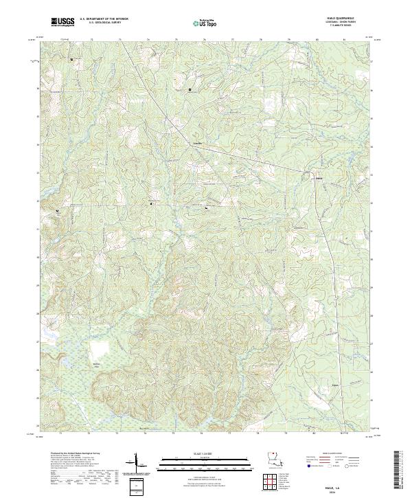
1988 Haile
Union Parish, LA
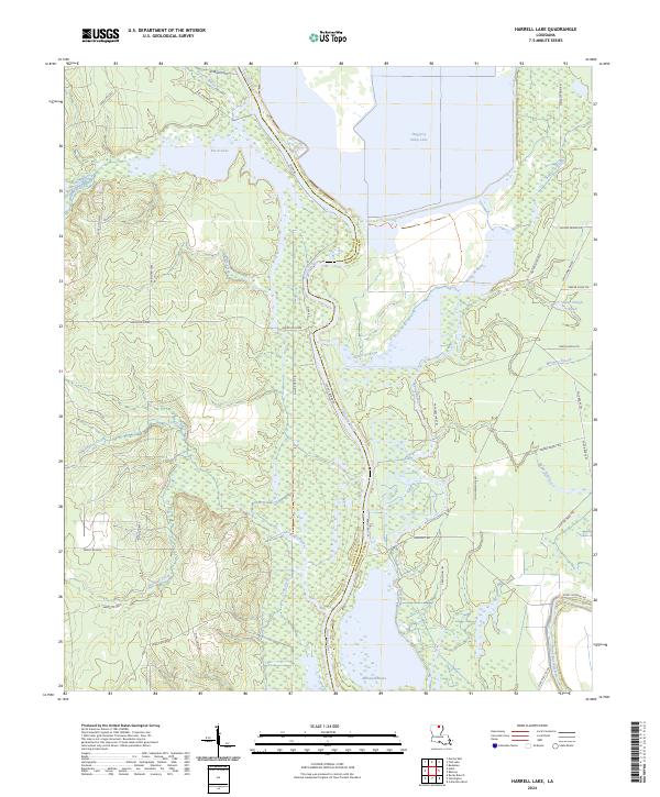
1988 Harrell Lake
Union Parish, LA
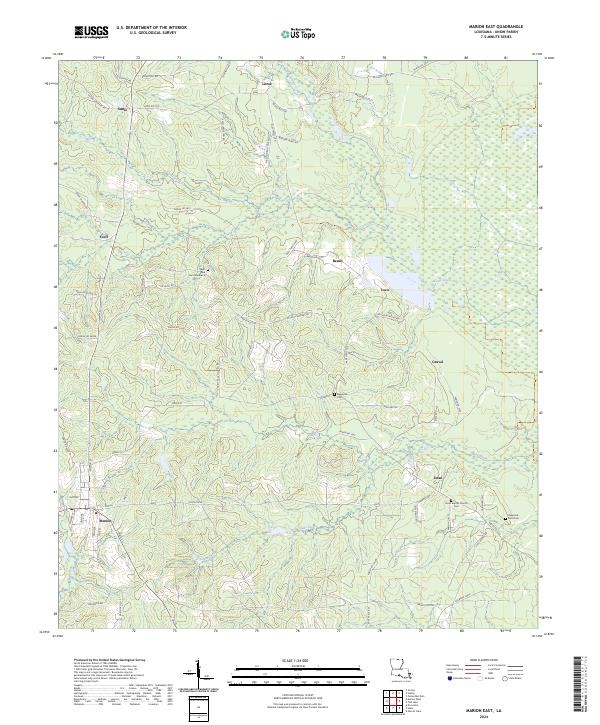
1988 Marion East
Union Parish, LA
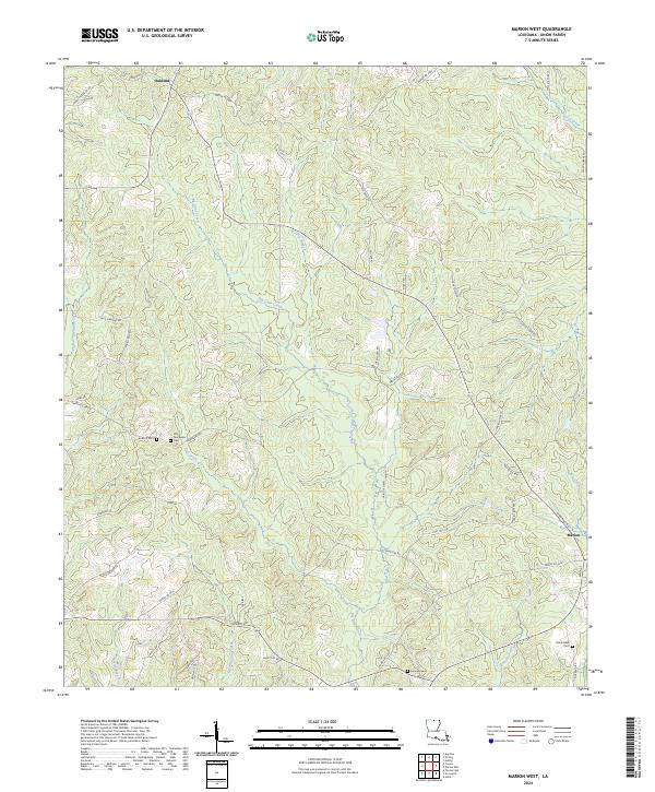
1988 Marion West
Union Parish, LA
1988 Truxno
Union Parish, LA
1994 Point
Union Parish, LA
2024 De Loutre
Union Parish, LA
2024 Downsville North
Union Parish, LA
2024 Haile
Union Parish, LA
2024 Harrell Lake
Union Parish, LA
2024 Lockhart
Union Parish, LA
2024 Marion East
Union Parish, LA
2024 Marion West
Union Parish, LA
2024 Point
Union Parish, LA
2024 Rocky Branch
Union Parish, LA
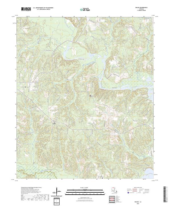
2024 Shiloh
Union Parish, LA
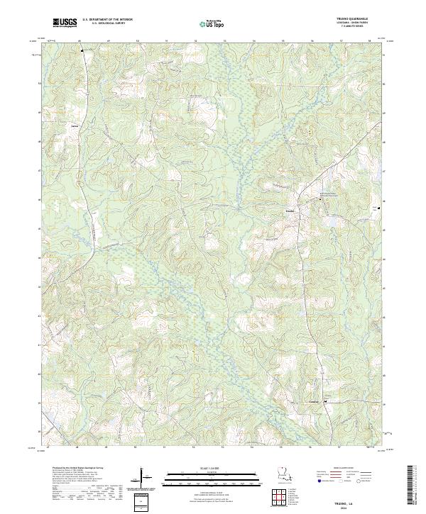
2024 Truxno
Union Parish, LA