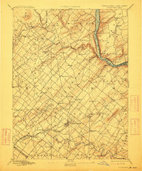
1891 Map of Doylestown
USGS Topo · Published 1912About this map
Doylestown and its surrounding townships served as a primary hub for Bucks County just before the turn of the century, characterized by a dense network of early crossroads settlements and water-powered industry. The North Penna Railroad cuts through the southwest, providing a vital connection to the wider region, while the Belvidere Delaware Railroad follows the eastern bank of the Delaware River.
Find a feature on this map
92 named features on this map. Tap any name to fly to it.
Don’t see what you’re looking for? This feature index may not catch every label — zoom into the map to look around manually.
Map Details
Editions of this 1891 Doylestown Map
11 editions found

1891 edition
16.5 x 19.9 inches
1897 edition
16.5 x 20.4 inches
1899 edition
16.5 x 20 inches
1905 edition
16.5 x 20 inches
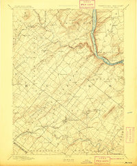
1908 edition
16.5 x 20 inches
1912 edition
16.5 x 19.9 inches
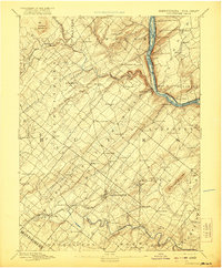
1921 edition
16.5 x 20 inches
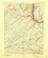
1930 edition
16.5 x 20 inches
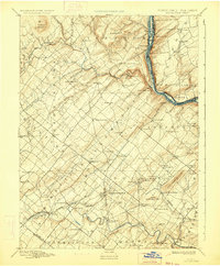
1934 edition
16.5 x 20 inches
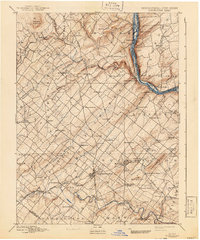
1941 edition
16.5 x 19.9 inches
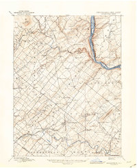
1943 edition
17.1 x 20.9 inches
Other maps of this area

1888 · Quakertown
USGS Topo · 1:62,500

1890 · Easton
USGS Topo · 1:62,500

1890 · High Bridge
USGS Topo · 1:62,500

1890 · Lambertville
USGS Topo · 1:62,500

1890 · Doylestown
USGS Topo · 1:62,500

1890 · Burlington
USGS Topo · 1:62,500

1890 · Quakertown
USGS Topo · 1:62,500

1891 · Easton
USGS Topo · 1:62,500

1891 · Lambertville
USGS Topo · 1:62,500
1891 · Doylestown
USGS Topo · 1:62,500
Featured Places
- Warrington Township, PA
- Buckingham Township, PA
- Hilltown Township, PA
- Solebury Township, PA
- Doylestown, PA