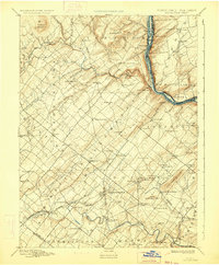
1891 Map of Doylestown
USGS Topo · Published 1934About this map
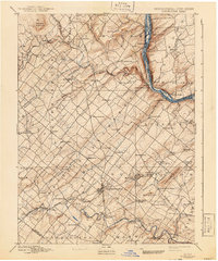
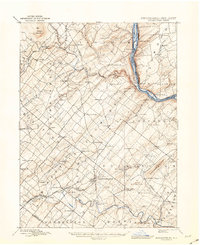
Doylestown and the surrounding townships of Bucks County appear here in a landscape defined by traditional agricultural hubs and the vital corridor of the Delaware River. During this era, the region was a dense network of crossroads villages, many of which served as local post offices and community centers, such as Plumsteadville, Gardenville, and Pipersville. The rugged elevations of Haycock Mountain and Buckingham Mountain break the agricultural plains, providing distinct landmarks for the scattered farmsteads of the late 19th century.
Find a feature on this map
104 named features on this map. Tap any name to fly to it.
Don’t see what you’re looking for? This feature index may not catch every label — zoom into the map to look around manually.
Map Details
Editions of this 1891 Doylestown Map
11 editions found

1891 edition
16.5 x 19.9 inches
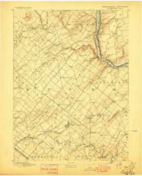
1897 edition
16.5 x 20.4 inches
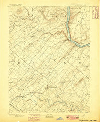
1899 edition
16.5 x 20 inches
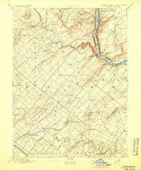
1905 edition
16.5 x 20 inches
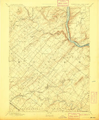
1908 edition
16.5 x 20 inches
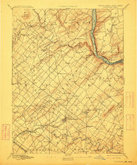
1912 edition
16.5 x 19.9 inches
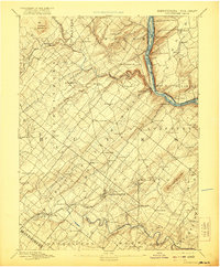
1921 edition
16.5 x 20 inches
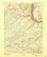
1930 edition
16.5 x 20 inches
1934 edition
16.5 x 20 inches
1941 edition
16.5 x 19.9 inches
1943 edition
17.1 x 20.9 inches
Other maps of this area

1888 · Quakertown
USGS Topo · 1:62,500

1890 · Easton
USGS Topo · 1:62,500

1890 · High Bridge
USGS Topo · 1:62,500

1890 · Lambertville
USGS Topo · 1:62,500

1890 · Doylestown
USGS Topo · 1:62,500

1890 · Burlington
USGS Topo · 1:62,500

1890 · Quakertown
USGS Topo · 1:62,500

1891 · Easton
USGS Topo · 1:62,500

1891 · Lambertville
USGS Topo · 1:62,500
1891 · Doylestown
USGS Topo · 1:62,500
Featured Places
- Warrington Township, PA
- Buckingham Township, PA
- Hilltown Township, PA
- Solebury Township, PA
- Doylestown, PA