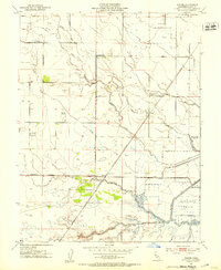
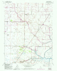
1952 Map of Dozier
USGS Topo · Published 1953About this map
The Hastings Tract and its intricate network of levees dominate this low-lying landscape, where the agricultural plains meet the tidal influence of the Sacramento River delta. In the early 1950s, the region was defined by a complex drainage system including Calhoun Cut, Hastings Cut, and several sloughs like Lindsey Slough. While the map records the Maine Prairie (Site), the surrounding area shows the persistence of small rail stops and settlements such as Dozier, Binghamton, and Olcott along the Sacramento Northern rail line. The presence of numerous windmills and a Gas Well near Barker Slough underscores the dual reliance on groundwater for ranching and the emerging extraction industries. Local educational and military footprints are evident at the Maine Prairie School and a Naval Reservation in the northeast, marking a landscape in transition between traditional agriculture and mid-century utility infrastructure.
Find a feature on this map
25 named features on this map. Tap any name to fly to it.
Don’t see what you’re looking for? This feature index may not catch every label — zoom into the map to look around manually.
Map Details
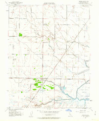
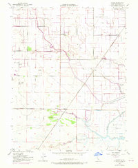
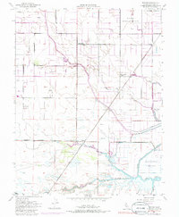
Editions of this 1952 Dozier Map
5 editions found
Other maps of this area

1907 · Antioch
USGS Topo · 1:62,500

1908 · Vacaville
USGS Topo · 1:62,500

1908 · Courtland
USGS Topo · 1:62,500

1908 · Antioch
USGS Topo · 1:62,500

1910 · Rio Vista
USGS Topo · 1:31,680

1916 · Dixon
USGS Topo · 1:31,680

1916 · Cache Slough
USGS Topo · 1:31,680

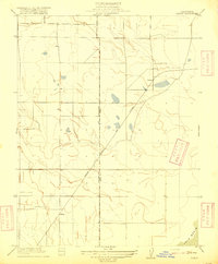
1916 · Maine Prairie
USGS Topo · 1:31,680
1916 · Saxon
USGS Topo · 1:31,680

1917 · Wolfskill
USGS Topo · 1:31,680