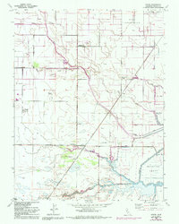
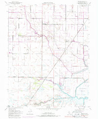
1952 Map of Dozier
USGS Topo · Published 1993About this map
Ulatis Creek and Sweany Creek meander through this Solano County landscape, which reflects a complex water management system of levees and man-made waterways. The presence of the Hastings Tract and numerous sloughs like Maine Prairie Slough and Lindsey Slough illustrates the low-lying, riparian character of the region. Small agricultural and transit hubs such as Binghamton, Dozier, and Olcott are scattered across the sheet, while the Maine Prairie (Site) and Maine Prairie School mark the locations of early community centers. To the north, a significant Naval Reservation borders the rural acreage. The map also captures specialized infrastructure like the Telephone Substation and various pump houses that supported the irrigation and drainage necessary for the local economy. From the industrial Gas Well to the engineered Calhoun Cut, the sheet documents the transition from natural wetlands to a highly modified agricultural and utility corridor.
Find a feature on this map
22 named features on this map. Tap any name to fly to it.
Don’t see what you’re looking for? This feature index may not catch every label — zoom into the map to look around manually.
Map Details
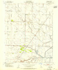
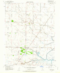
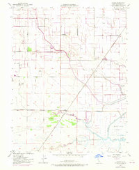
Editions of this 1952 Dozier Map
5 editions found
Other maps of this area

1907 · Antioch
USGS Topo · 1:62,500

1908 · Vacaville
USGS Topo · 1:62,500

1908 · Courtland
USGS Topo · 1:62,500

1908 · Antioch
USGS Topo · 1:62,500

1910 · Rio Vista
USGS Topo · 1:31,680

1916 · Dixon
USGS Topo · 1:31,680

1916 · Cache Slough
USGS Topo · 1:31,680

1916 · Maine Prairie
USGS Topo · 1:31,680
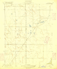
1916 · Saxon
USGS Topo · 1:31,680

1917 · Wolfskill
USGS Topo · 1:31,680