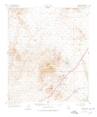
1958 Map of Dragoon
USGS Topo · Published 1977About this map
Mining and ranching define this high desert landscape during the mid-20th century. The Dragoon Mountains and Little Dragoon Mountains dominate the center of the sheet, providing a backdrop for the active extraction operations at Republic Mine, OK Mine, and Keystone Mine near the settlement of Johnson. To the south, the Southern Pacific railroad cuts through Dragoon Pass near the station at Dragoon, a critical transportation link for the region's mineral wealth and cattle.
Find a feature on this map
48 named features on this map. Tap any name to fly to it.
Don’t see what you’re looking for? This feature index may not catch every label — zoom into the map to look around manually.
Map Details
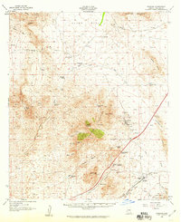
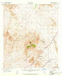
Editions of this 1958 Dragoon Map
3 editions found
Other maps of this area

1915 · Benson
USGS Topo · 1:125,000

1916 · Pearce
USGS Topo · 1:125,000

1922 · Willcox
USGS Topo · 1:125,000

1922 · St. David
USGS Topo · 1:62,500

1926 · Whetstone
USGS Topo · 1:62,500

1926 · Courtland
USGS Topo · 1:62,500

1943 · Willcox
USGS Topo · 1:62,500

1943 · Benson
USGS Topo · 1:125,000

1943 · Cochise
USGS Topo · 1:62,500

1943 · Dragoon
USGS Topo · 1:62,500