
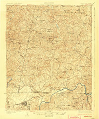
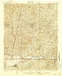
1926 Map of Draper
USGS Topo · Published 1926About this map
The Danville and Western railroad winds through the rolling Piedmont along the Virginia-North Carolina border, connecting rural hubs like Axton and Cascade. This mid-1920s landscape is defined by the Dan River and its numerous tributaries, including Leatherwood Creek and Sandy River. The map reveals a dense network of country schools and churches that served these farming communities before the era of school consolidation, featuring locations such as Bachelors Hall and the Unity School.
Find a feature on this map
107 named features on this map. Tap any name to fly to it.
Don’t see what you’re looking for? This feature index may not catch every label — zoom into the map to look around manually.
Map Details
Editions of this 1926 Draper Map
3 editions found
Other maps of this area

1921 · Chatham
USGS Topo · 1:48,000

1922 · Callands
USGS Topo · 1:48,000

1923 · Danville
USGS Topo · 1:48,000

1923 · Chatham
USGS Topo · 1:62,500

1924 · Martinsville
USGS Topo · 1:48,000

1924 · Draper
USGS Topo · 1:48,000

1924 · Callands
USGS Topo · 1:62,500

1925 · Rocky Mount
USGS Topo · 1:48,000

1925 · Danville
USGS Topo · 1:62,500

1926 · Martinsville
USGS Topo · 1:62,500