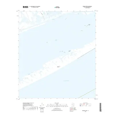
2019 Map of Dressing Point
USGS Topo · Published 2019About this map
Matagorda Peninsula separates the churning Gulf of Mexico from the shallow, island-dotted waters of East Matagorda Bay in this coastal Texas survey. The landscape is defined by the vital Intracoastal Waterway, which cuts through the marshy transition between the mainland and the bay, passing just south of Boggy Lake and Big Boggy Cut. This region is a complex network of estuarine environments where Live Oak Bayou and Cleveland Bayou feed into the protected waters of Live Oak Bay. The map highlights the shifting geomorphology of the Texas coast, from the tidal Eidelbach Flat to the distinct landform at Dressing Point. Only a single road, Bear Ranch Rd, provides access to this largely aquatic and marsh-heavy reach of the Matagorda coastline.
Find a feature on this map
13 named features on this map. Tap any name to fly to it.
Don’t see what you’re looking for? This feature index may not catch every label — zoom into the map to look around manually.
Map Details
Editions of this 2019 Dressing Point Map
This is the sole edition of this map. No revisions or reprints were ever made.
Other maps of this area

1951 · Bay City
USGS Topo · 1:250,000

1952 · Lake Austin
USGS Topo · 1:24,000

1952 · Matagorda
USGS Topo · 1:24,000

1952 · Dressing Point
USGS Topo · 1:24,000
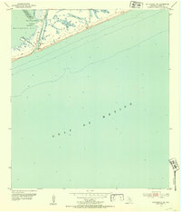
1952 · Matagorda SW
USGS Topo · 1:24,000
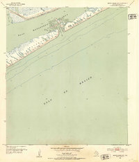
1952 · Brown Cedar Cut
USGS Topo · 1:24,000

1952 · Sargent
USGS Topo · 1:24,000

1952 · Wadsworth
USGS Topo · 1:24,000

1956 · Bay City
USGS Topo · 1:250,000

1958 · Bay City
USGS Topo · 1:250,000