
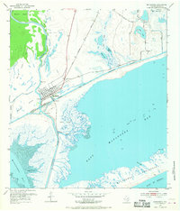
1952 Map of Matagorda
USGS Topo · Published 1953About this map
The coastal village of Matagorda serves as the focal point for this early 1950s survey, positioned where the Colorado River meets the Texas coast. The town’s grid is clearly defined, with the Matagorda Cem on the northern outskirts and the Gulf Colorado and Santa Fe Railroad terminating near the waterfront. A Pontoon Bridge provides a vital crossing over the Intracoastal Waterway, connecting the mainland to the sprawling marshlands and islands of the delta.
Find a feature on this map
26 named features on this map. Tap any name to fly to it.
Don’t see what you’re looking for? This feature index may not catch every label — zoom into the map to look around manually.
Map Details
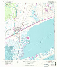
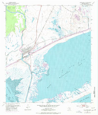
Editions of this 1952 Matagorda Map
4 editions found
Other maps of this area

1951 · Bay City
USGS Topo · 1:250,000

1952 · Palacios SE
USGS Topo · 1:24,000

1952 · Lake Austin
USGS Topo · 1:24,000

1952 · Blessing SE
USGS Topo · 1:24,000

1952 · Dressing Point
USGS Topo · 1:24,000
1952 · Matagorda SW
USGS Topo · 1:24,000

1952 · Palacios NE
USGS Topo · 1:24,000

1952 · Wadsworth
USGS Topo · 1:24,000

1953 · Beeville
USGS Topo · 1:250,000

1956 · Beeville
USGS Topo · 1:250,000