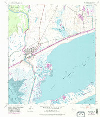
1952 Map of Matagorda
USGS Topo · Published 1976About this map
Matagorda occupies a strategic position where the Colorado River meets the Texas coast, serving as a focal point for maritime and riverine activity. The town's grid is bounded by the Intracoastal Waterway, which cuts across the marshy landscape to connect Matagorda Bay with East Matagorda Bay. A Pontoon Bridge provides vital access across the canal, while an Old Railroad Grade to the northeast hints at former transport corridors that once served this coastal reach.
Find a feature on this map
26 named features on this map. Tap any name to fly to it.
Don’t see what you’re looking for? This feature index may not catch every label — zoom into the map to look around manually.
Map Details
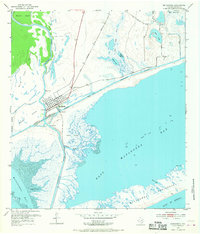
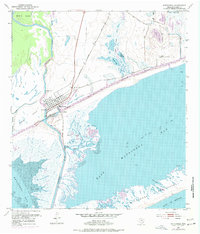
Editions of this 1952 Matagorda Map
4 editions found
Other maps of this area

1951 · Bay City
USGS Topo · 1:250,000

1952 · Palacios SE
USGS Topo · 1:24,000

1952 · Lake Austin
USGS Topo · 1:24,000

1952 · Matagorda
USGS Topo · 1:24,000

1952 · Blessing SE
USGS Topo · 1:24,000

1952 · Dressing Point
USGS Topo · 1:24,000
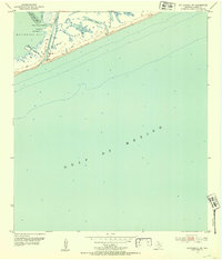
1952 · Matagorda SW
USGS Topo · 1:24,000

1952 · Palacios NE
USGS Topo · 1:24,000

1952 · Wadsworth
USGS Topo · 1:24,000

1953 · Beeville
USGS Topo · 1:250,000