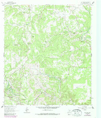
1964 Map of Driftwood
USGS Topo · Published 1987About this map
The community of Driftwood serves as a quiet anchor in this mid-century survey of the Texas Hill Country, where ranching operations and distinctive limestone topography define the landscape. Large family landholdings like Storm Ranch, Newberry Ranch, and Rainbow Ranch are spread across the drainage of Onion Creek and its many tributaries. The terrain is marked by prominent elevations such as Lone Woman Mountain and Lone Man Mountain, which overlook a network of seasonal streams including Gatlin Creek and Yorks Creek.
Find a feature on this map
30 named features on this map. Tap any name to fly to it.
Don’t see what you’re looking for? This feature index may not catch every label — zoom into the map to look around manually.
Map Details
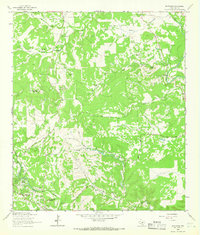
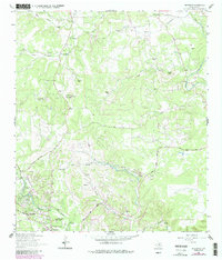
Editions of this 1964 Driftwood Map
Other maps of this area

1887 · Blanco
USGS Topo · 1:125,000

1894 · Blanco
USGS Topo · 1:125,000

1896 · Austin
USGS Topo · 1:125,000

1897 · Austin
USGS Topo · 1:125,000

1910 · Austin
USGS Topo · 1:125,000

1911 · San Marcos
USGS Topo · 1:125,000

1919 · San Marcos
USGS Topo · 1:125,000

1929 · Hunter
USGS Topo · 1:62,500

1953 · Seguin
USGS Topo · 1:250,000

1954 · Llano
USGS Topo · 1:250,000