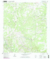
1964 Map of Driftwood
USGS Topo · Published 1987About this map
Onion Creek and Gatlin Creek carve through the limestone landscape of the Texas Hill Country in this 1964 survey, which was updated with 1983 photo-revisions to show fence lines and road developments. The map highlights a transition from traditional ranching properties like Newberry Ranch and Eagle Rock Ranch toward recreational and residential growth. Notable landmarks of the era include the Rodeo Ground near the southern border and the Blue Hole Campground situated along the winding course of Cypress Creek.
Find a feature on this map
31 named features on this map. Tap any name to fly to it.
Don’t see what you’re looking for? This feature index may not catch every label — zoom into the map to look around manually.
Map Details
Editions of this 1964 Driftwood Map
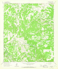
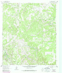
Other maps of this area

1887 · Blanco
USGS Topo · 1:125,000

1894 · Blanco
USGS Topo · 1:125,000

1896 · Austin
USGS Topo · 1:125,000

1897 · Austin
USGS Topo · 1:125,000

1910 · Austin
USGS Topo · 1:125,000

1911 · San Marcos
USGS Topo · 1:125,000

1919 · San Marcos
USGS Topo · 1:125,000

1929 · Hunter
USGS Topo · 1:62,500

1953 · Seguin
USGS Topo · 1:250,000

1954 · Llano
USGS Topo · 1:250,000