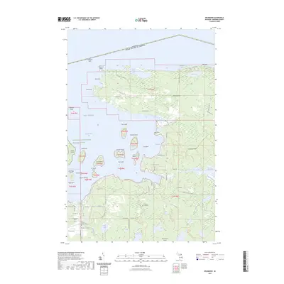
2023 Map of Drummond
USGS Topo · Published 2023About this map
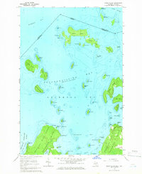
Drummond Island marks a unique junction of maritime geography and international borders in northern Lake Huron. The terrain is characterized by the expansive Maxton Plains and a complex archipelago within Potagannissing Bay, including Harbor Island and Peck Island. The international boundary between the United States and Canada is clearly defined to the north, cutting across the open waters of the Chippewa Bank.
Find a feature on this map
77 named features on this map. Tap any name to fly to it.
Don’t see what you’re looking for? This feature index may not catch every label — zoom into the map to look around manually.
Map Details
Editions of this 2023 Drummond Map
This is the sole edition of this map. No revisions or reprints were ever made.
Other maps of this area

1954 · Alpena
USGS Topo · 1:250,000

1957 · Alpena
USGS Topo · 1:250,000

1958 · Alpena
USGS Topo · 1:250,000

1961 · Blind River
USGS Topo · 1:250,000
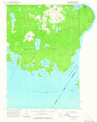
1964 · Marble Head
USGS Topo · 1:24,000

1964 · Drummond
USGS Topo · 1:24,000
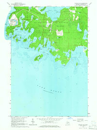
1964 · Whitney Bay
USGS Topo · 1:24,000

1964 · Meade Island
USGS Topo · 1:24,000
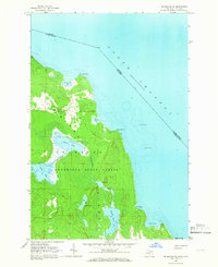
1964 · Drummond SE
USGS Topo · 1:24,000
1964 · Burnt Island
USGS Topo · 1:24,000