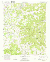
1956 Map of Dry Valley
USGS Topo · Published 1980About this map
Dry Valley defines the central topography of this mid-century landscape, nestled between the heights of Phifer Mountain and Goulden Mountain. The map reveals a robust network of community institutions, including the Stone Seminary and numerous rural schools like Bohannon Sch and Mt Herman Sch. These points of assembly, combined with several churches such as Caney Fork Ch and Robinson Chapel, illustrate the social fabric of the Putnam and White County borderlands during this era.
Find a feature on this map
41 named features on this map. Tap any name to fly to it.
Don’t see what you’re looking for? This feature index may not catch every label — zoom into the map to look around manually.
Map Details
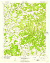
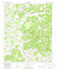
Editions of this 1956 Dry Valley Map
3 editions found
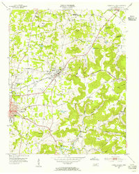
Other maps of this area

1892 · Pikeville
USGS Topo · 1:125,000

1893 · Mc Minnville
USGS Topo · 1:125,000

1895 · Mc Minnville
USGS Topo · 1:125,000

1895 · Pikeville
USGS Topo · 1:125,000

1897 · Standingstone
USGS Topo · 1:125,000

1898 · Standingstone
USGS Topo · 1:125,000

1943 · Cookeville
USGS Topo · 1:100,000

1944 · Cookeville
USGS Topo · 1:100,000

1953 · Chattanooga
USGS Topo · 1:250,000
1953 · Cookeville East
USGS Topo · 1:24,000