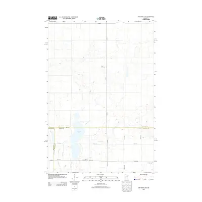
2013 Map of Dry Wood Lake
USGS Topo · Published 2013About this map
Dry Wood Lake serves as a central landmark in this prairie landscape, where the borders of Stevens, Big Stone, and Swift Counties converge. The terrain is defined by the winding paths of Artichoke Creek and Dry Wood Cr, which drain the surrounding agricultural lands. This survey reflects the rural continuity of the region, emphasizing a grid of secondary roads such as 230th Ave NW and 70th St NW that link isolated homesteads and community sites.
Find a feature on this map
23 named features on this map. Tap any name to fly to it.
Don’t see what you’re looking for? This feature index may not catch every label — zoom into the map to look around manually.
Map Details
Editions of this 2013 Dry Wood Lake Map
This is the sole edition of this map. No revisions or reprints were ever made.
Other maps of this area

1910 · Chokio
USGS Topo · 1:62,500

1912 · Chokio
USGS Topo · 1:62,500

1912 · Morris
USGS Topo · 1:62,500

1953 · Milbank
USGS Topo · 1:250,000

1953 · Saint Cloud
USGS Topo · 1:250,000

1957 · Saint Cloud
USGS Topo · 1:250,000

1958 · Milbank
USGS Topo · 1:250,000

1958 · Saint Cloud
USGS Topo · 1:250,000

1968 · Dry Wood Lake
USGS Topo · 1:24,000

1968 · Lake Oliver
USGS Topo · 1:24,000