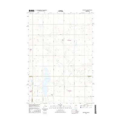
2016 Map of Dry Wood Lake
USGS Topo · Published 2016About this map
The agricultural landscape at the tri-county junction of Stevens, Big Stone, and Swift counties is defined by a grid of rural section roads and small water bodies. Dry Wood Lake serves as a central hydrological landmark, with the intermittent flows of Dry Wood Cr and Artichoke Cr threading through the surrounding prairie. This area reflects a quiet, enduring rural character where the primary points of community gathering and memory are the local burial grounds. Genealogists and local historians can find three distinct sites of interest: Trinity Lutheran Cem in the northern section, and Good Shepherd Cem and Saint Agnes Cem further south. These sites, situated alongside routes like Co HWY 4 and Co RD 7, anchor the history of the township's early families amidst the expansive farmland.
Find a feature on this map
29 named features on this map. Tap any name to fly to it.
Don’t see what you’re looking for? This feature index may not catch every label — zoom into the map to look around manually.
Map Details
Editions of this 2016 Dry Wood Lake Map
This is the sole edition of this map. No revisions or reprints were ever made.
Other maps of this area

1910 · Chokio
USGS Topo · 1:62,500

1912 · Chokio
USGS Topo · 1:62,500

1912 · Morris
USGS Topo · 1:62,500

1953 · Milbank
USGS Topo · 1:250,000

1953 · Saint Cloud
USGS Topo · 1:250,000

1957 · Saint Cloud
USGS Topo · 1:250,000

1958 · Milbank
USGS Topo · 1:250,000

1958 · Saint Cloud
USGS Topo · 1:250,000

1968 · Dry Wood Lake
USGS Topo · 1:24,000

1968 · Lake Oliver
USGS Topo · 1:24,000