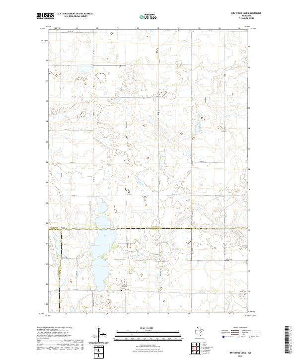
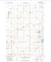
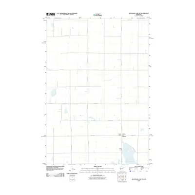
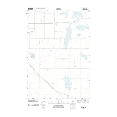
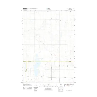
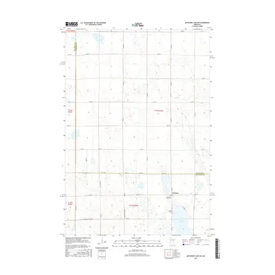
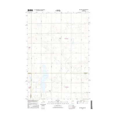
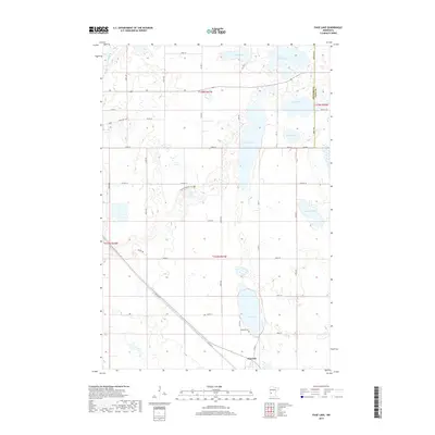
2022 Map of Dry Wood Lake
USGS Topo · Published 2022About this map
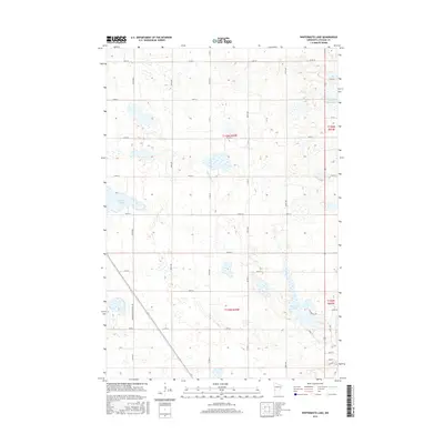
Dry Wood Lake serves as a central landmark in this prairie landscape, where the borders of Stevens, Big Stone, and Swift counties converge. The terrain is defined by a glacial pothole topography, with numerous small wetlands and basins scattered across the agricultural sections of the region. Local heritage is preserved in several small burial grounds, including Synnes Cem in the north and both Good Shepherd Cem and Saint Agnes Cem further south. Water drainage follows natural draws toward Dry Wood Cr and Artichoke Cr, cutting through the rigid grid of the Public Land Survey System. The map documents a sparsely populated rural district where the economy remains tied to the land and its seasonal hydrology.
Find a feature on this map
41 named features on this map. Tap any name to fly to it.
Don’t see what you’re looking for? This feature index may not catch every label — zoom into the map to look around manually.
Map Details
Editions of this 2022 Dry Wood Lake Map
This is the sole edition of this map. No revisions or reprints were ever made.
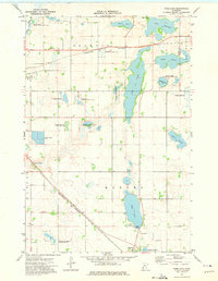
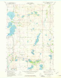
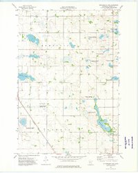
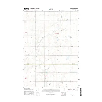
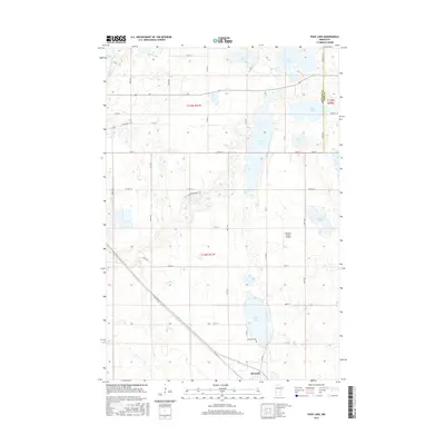
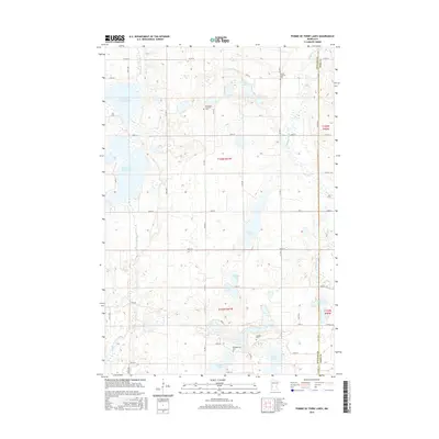
Historical Maps of Stevens County Through Time
42 maps found
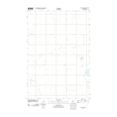
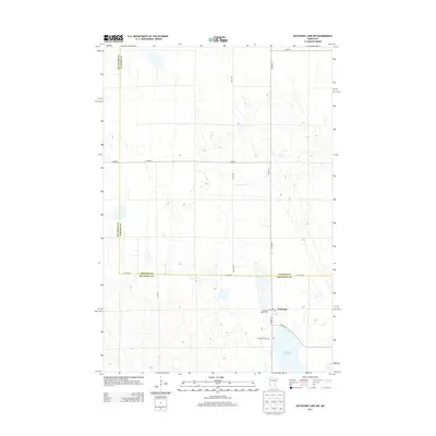
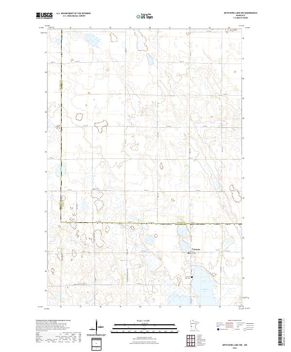
1968 Artichoke Lake NW
Stevens County, MN
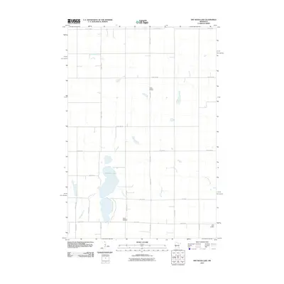
1968 Dry Wood Lake
Stevens County, MN
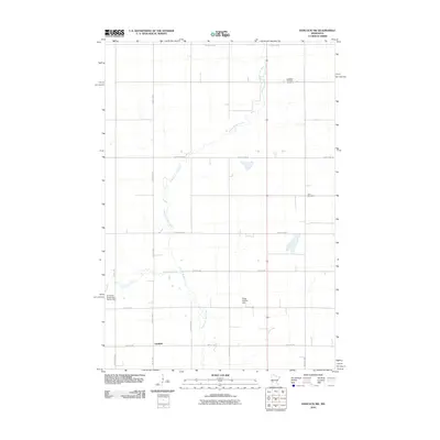
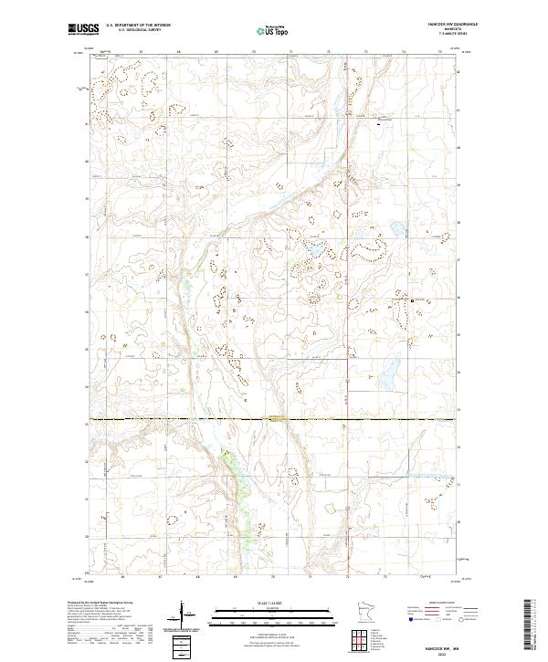
1968 Hancock NW
Stevens County, MN
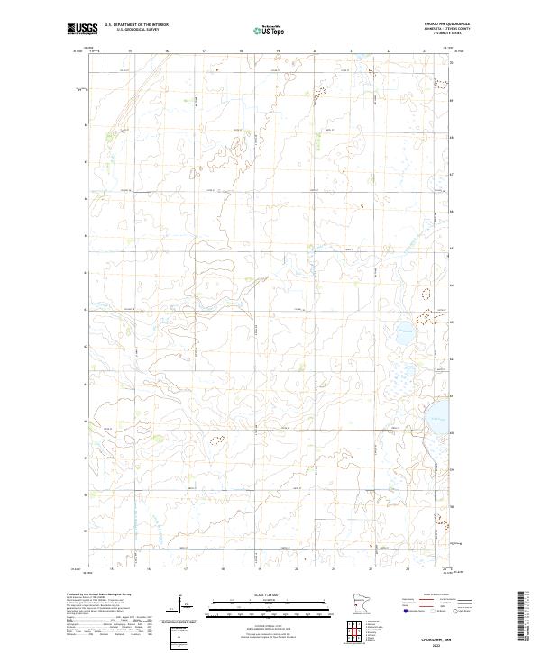
1973 Chokio NW
Stevens County, MN
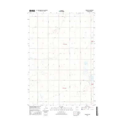
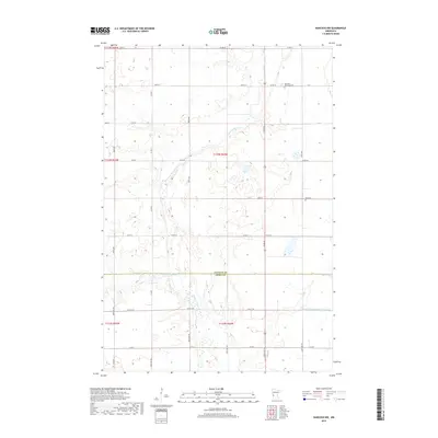
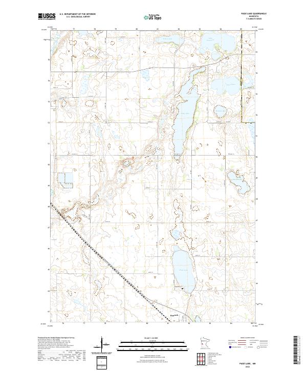
1973 Page Lake
Stevens County, MN
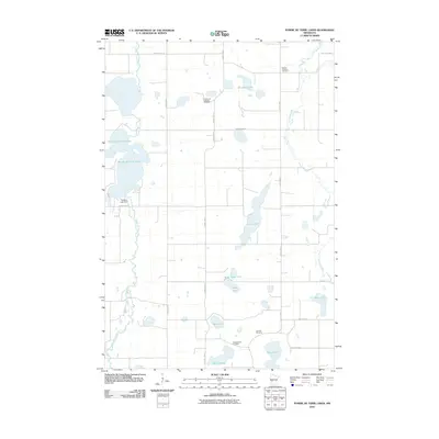
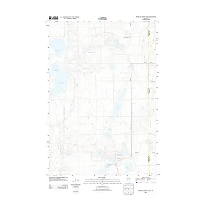
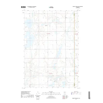
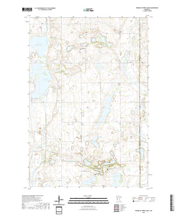
1973 Pomme De Terre Lakes
Stevens County, MN
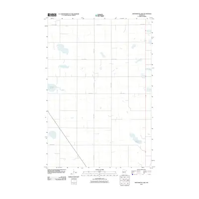
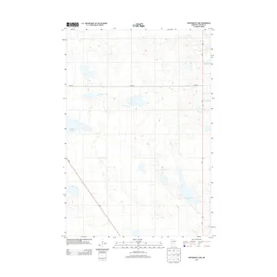
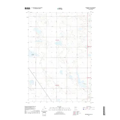
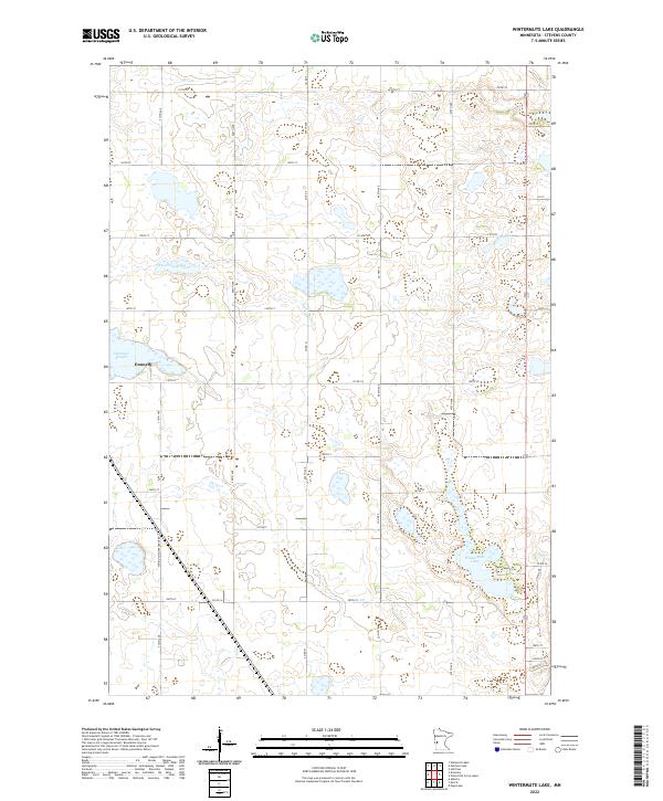
1973 Wintermute Lake
Stevens County, MN
2010 Artichoke Lake NW
Stevens County, MN
2010 Chokio NW
Stevens County, MN
2010 Dry Wood Lake
Stevens County, MN
2010 Hancock NW
Stevens County, MN
2010 Page Lake
Stevens County, MN
2010 Pomme De Terre Lakes
Stevens County, MN
2010 Wintermute Lake
Stevens County, MN
2013 Artichoke Lake NW
Stevens County, MN
2013 Chokio NW
Stevens County, MN
2013 Dry Wood Lake
Stevens County, MN
2013 Hancock NW
Stevens County, MN
2013 Page Lake
Stevens County, MN
2013 Pomme De Terre Lakes
Stevens County, MN
2013 Wintermute Lake
Stevens County, MN
2016 Artichoke Lake NW
Stevens County, MN
2016 Chokio NW
Stevens County, MN
2016 Dry Wood Lake
Stevens County, MN
2016 Hancock NW
Stevens County, MN
2016 Page Lake
Stevens County, MN
2016 Pomme De Terre Lakes
Stevens County, MN
2016 Wintermute Lake
Stevens County, MN
2019 Artichoke Lake NW
Stevens County, MN
2019 Chokio NW
Stevens County, MN
2019 Dry Wood Lake
Stevens County, MN
2019 Hancock NW
Stevens County, MN
2019 Page Lake
Stevens County, MN
2019 Pomme De Terre Lakes
Stevens County, MN
2019 Wintermute Lake
Stevens County, MN
2022 Artichoke Lake NW
Stevens County, MN
2022 Chokio NW
Stevens County, MN
2022 Dry Wood Lake
Stevens County, MN
2022 Hancock NW
Stevens County, MN
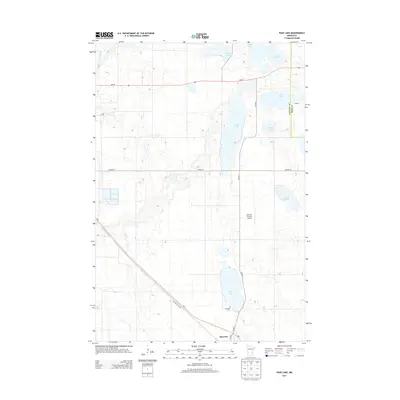
2022 Page Lake
Stevens County, MN
2022 Pomme De Terre Lakes
Stevens County, MN
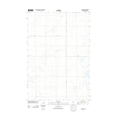
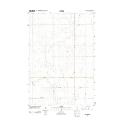
2022 Wintermute Lake
Stevens County, MN