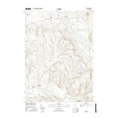
2016 Map of Dryden
USGS Topo · Published 2016About this map
Dryden and its surrounding uplands serve as the focal point for this survey of the New York countryside, where the convergence of Virgil Creek and Egypt Cr shapes the village landscape. The terrain is defined by prominent elevations such as Yellow Barn Hill and Beam Hill, which direct the flow of numerous small tributaries including Willow Glen Cr and Sixmile Cr. Historically significant burial sites are scattered throughout the region, including the Willow Glen Cem and the Dutch Reformed Cem near West Slaterville.
Find a feature on this map
93 named features on this map. Tap any name to fly to it.
Don’t see what you’re looking for? This feature index may not catch every label — zoom into the map to look around manually.
Map Details
Editions of this 2016 Dryden Map
This is the sole edition of this map. No revisions or reprints were ever made.
Other maps of this area

1898 · Moravia
USGS Topo · 1:62,500

1900 · Dryden
USGS Topo · 1:62,500

1902 · Moravia
USGS Topo · 1:62,500

1903 · Cortland
USGS Topo · 1:62,500

1903 · Harford
USGS Topo · 1:62,500

1906 · Catatonk
USGS Topo · 1:125,000

1942 · Groton
USGS Topo · 1:24,000

1943 · West Groton
USGS Topo · 1:31,680

1943 · Groton
USGS Topo · 1:31,680

1944 · Cortland
USGS Topo · 1:31,680