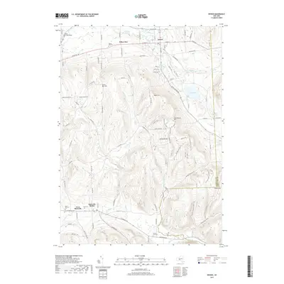
2019 Map of Dryden
USGS Topo · Published 2019About this map
Dryden serves as a central hub in this modern topographic landscape, where the town's grid of streets like Main St and South St transition into the rolling uplands of Tompkins County. The map shows a well-established network of rural settlements, from the quiet residential layout of Willow Glen to the crossroads at Slaterville Springs. These communities are bound together by an intricate system of creeks, including Six Mile Cr and Fall Creek, the latter featuring the notable Fall Creek Bridge in the northwest corner.
Find a feature on this map
110 named features on this map. Tap any name to fly to it.
Don’t see what you’re looking for? This feature index may not catch every label — zoom into the map to look around manually.
Map Details
Editions of this 2019 Dryden Map
This is the sole edition of this map. No revisions or reprints were ever made.
Other maps of this area

1898 · Moravia
USGS Topo · 1:62,500

1900 · Dryden
USGS Topo · 1:62,500

1902 · Moravia
USGS Topo · 1:62,500

1903 · Cortland
USGS Topo · 1:62,500

1903 · Harford
USGS Topo · 1:62,500

1906 · Catatonk
USGS Topo · 1:125,000

1942 · Groton
USGS Topo · 1:24,000

1943 · West Groton
USGS Topo · 1:31,680

1943 · Groton
USGS Topo · 1:31,680

1944 · Cortland
USGS Topo · 1:31,680