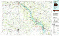
1984 Map of Dubuque South
USGS Topo · Published 1988About this map
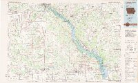
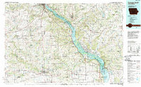
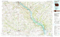
The Upper Mississippi River Wild Life and Fish Refuge dominates the eastern corridor of this region, where the river carves through a landscape of high bluffs and numerous islands. This 1984 survey documents a complex network of midwestern river-town economies and conservation areas, including the Mines of Spain State Nature Preserve south of Dubuque. The map illustrates the strategic importance of the Mississippi waterway, anchored by Lock and Dam No 12 at Bellevue and the massive Savanna Army Depot on the Illinois bank. Inland, the topography transitions to the rolling agricultural lands of Jackson and Dubuque Counties, where small settlements like Garry Owen and St Donatus are connected by a web of early roads and rail lines, including the Chicago Milwaukee St Paul and Pacific Railroad. Geologists and local historians will find significant detail in the numerous quarries and distinctive limestone features preserved at Maquoketa Caves State Park.
Find a feature on this map
167 named features on this map. Tap any name to fly to it.
Don’t see what you’re looking for? This feature index may not catch every label — zoom into the map to look around manually.
Map Details
Editions of this 1984 Dubuque South Map
4 editions found
Other maps of this area

1889 · Tipton
USGS Topo · 1:62,500

1890 · Tipton
USGS Topo · 1:62,500

1891 · DeWitt
USGS Topo · 1:62,500

1891 · Monticello
USGS Topo · 1:62,500

1891 · Maquoketa
USGS Topo · 1:62,500

1891 · Baldwin
USGS Topo · 1:62,500

1891 · Clinton
USGS Topo · 1:62,500

1892 · Wheatland
USGS Topo · 1:62,500

1892 · Goose Lake
USGS Topo · 1:62,500

1892 · Savanna
USGS Topo · 1:62,500