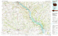
1984 Map of Dubuque South
USGS Topo · Published 1991About this map
The Upper Mississippi River Wild Life and Fish Refuge dominates the eastern corridor of this 1980s landscape, where the Mississippi River serves as the tri-state boundary between Iowa and Illinois. Significant cultural and educational institutions are concentrated around Dubuque, including Loras College, the University of Dubuque, and Clarke College, reflecting the area's long-standing role as a regional center. To the south, the Mines of Spain State Nature Preserve and Maquoketa Caves State Park highlight the region's unique karst topography and early mining history.
Find a feature on this map
154 named features on this map. Tap any name to fly to it.
Don’t see what you’re looking for? This feature index may not catch every label — zoom into the map to look around manually.
Map Details
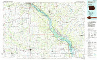
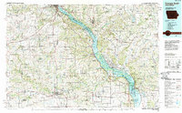
Editions of this 1984 Dubuque South Map
4 editions found

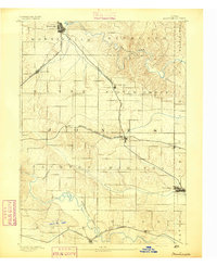
Other maps of this area

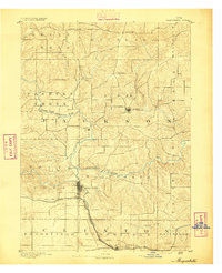
1889 · Tipton
USGS Topo · 1:62,500

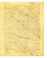
1890 · Tipton
USGS Topo · 1:62,500

1891 · DeWitt
USGS Topo · 1:62,500
1891 · Monticello
USGS Topo · 1:62,500
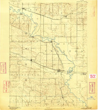
1891 · Maquoketa
USGS Topo · 1:62,500
1891 · Baldwin
USGS Topo · 1:62,500

1891 · Clinton
USGS Topo · 1:62,500
1892 · Wheatland
USGS Topo · 1:62,500

1892 · Goose Lake
USGS Topo · 1:62,500

1892 · Savanna
USGS Topo · 1:62,500