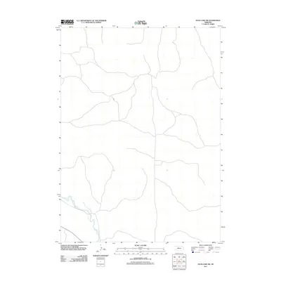
2011 Map of Duck Lake SW
USGS Topo · Published 2011About this map
The Middle Loup River winds through the southwestern corner of this landscape in the Nebraska Sandhills. This 2011 survey by the U.S. Geological Survey illustrates the spare, rural character of the region, where a network of local roads and 4WD tracks provides the primary access across the terrain. The presence of the river serves as the most prominent geographic marker in an area otherwise defined by its quiet, open spaces. Unlike more developed regions, the map highlights the essential relationship between the sparse road network and the natural watercourse that shapes this part of Cherry County.
Find a feature on this map
1 named feature on this map. Tap any name to fly to it.
Don’t see what you’re looking for? This feature index may not catch every label — zoom into the map to look around manually.
Map Details
Editions of this 2011 Duck Lake SW Map
This is the sole edition of this map. No revisions or reprints were ever made.
Other maps of this area

1948 · Seneca
USGS Topo · 1:62,500

1948 · Thedford
USGS Topo · 1:62,500

1948 · Seneca 4
USGS Topo · 1:62,500

1949 · Seneca 4
USGS Topo · 1:62,500

1950 · Thedford
USGS Topo · 1:62,500

1950 · Shimmins Lake
USGS Topo · 1:62,500

1951 · Seneca
USGS Topo · 1:62,500

1954 · North Platte
USGS Topo · 1:250,000

1956 · North Platte
USGS Topo · 1:250,000

1957 · North Platte
USGS Topo · 1:250,000