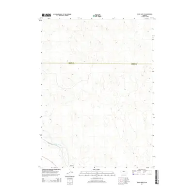
2014 Map of Duck Lake SW
USGS Topo · Published 2014About this map
The Middle Loup River winds through the southwestern corner of this Sandhills landscape, creating a distinct riparian corridor amidst the surrounding dune topography. The settlement of Norway sits along the southern bank, situated near the path of Ne-2 and the Sandhills Journey scenic byway. This area marks a clear administrative transition, as the Cherry Co Thomas Co boundary line bisects the quadrangle. The map illustrates a region characterized by sparse settlement and significant natural relief, where transportation routes and human activity are concentrated primarily along the river valley while the vast majority of the terrain remains undeveloped ranch land.
Find a feature on this map
5 named features on this map. Tap any name to fly to it.
Don’t see what you’re looking for? This feature index may not catch every label — zoom into the map to look around manually.
Map Details
Editions of this 2014 Duck Lake SW Map
This is the sole edition of this map. No revisions or reprints were ever made.
Other maps of this area

1948 · Seneca
USGS Topo · 1:62,500

1948 · Thedford
USGS Topo · 1:62,500

1948 · Seneca 4
USGS Topo · 1:62,500

1949 · Seneca 4
USGS Topo · 1:62,500

1950 · Thedford
USGS Topo · 1:62,500

1950 · Shimmins Lake
USGS Topo · 1:62,500

1951 · Seneca
USGS Topo · 1:62,500

1954 · North Platte
USGS Topo · 1:250,000

1956 · North Platte
USGS Topo · 1:250,000

1957 · North Platte
USGS Topo · 1:250,000