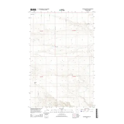
2014 Map of Duckhead Buttes
USGS Topo · Published 2014About this map
Duckhead Buttes rise above the high plains of Glacier County, defining the elevation and character of this landscape in the early 21st century. The drainage patterns of Spring Coulee, Flat Coulee, and the meandering Spring Cr illustrate the natural topography that has long dictated movement across these northwestern Montana reaches. The infrastructure here is primarily agricultural and transport-focused, with a grid of rural routes including Sather Rd, Miller Rd, and Shady Grove Rd connecting isolated homesteads and ranch lands.
Find a feature on this map
15 named features on this map. Tap any name to fly to it.
Don’t see what you’re looking for? This feature index may not catch every label — zoom into the map to look around manually.
Map Details
Editions of this 2014 Duckhead Buttes Map
This is the sole edition of this map. No revisions or reprints were ever made.
Other maps of this area

1907 · Blackfoot Res.
USGS Topo · 1:48,000

1909 · Cut Bank
USGS Topo · 1:125,000

1911 · Blackfoot
USGS Topo · 1:125,000

1912 · Cut Bank
USGS Topo · 1:125,000

1914 · Heart Butte
USGS Topo · 1:125,000

1918 · Heart Butte
USGS Topo · 1:125,000

1920 · Dupuyer
USGS Topo · 1:125,000

1934 · Lake Frances
USGS Topo · 1:48,000

1937 · Lake Frances
USGS Topo · 1:62,500

1960 · Cut Bank
USGS Topo · 1:250,000