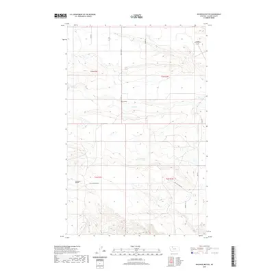
2020 Map of Duckhead Buttes
USGS Topo · Published 2020About this map
Duckhead Buttes rise above the high plains of Glacier County, characterizing a landscape defined by sharp elevation changes and seasonal watercourses. This modern survey illustrates a sparsely settled region where transportation is dictated by a network of rural routes, including Gov Hugo Aronson Rd and Triggood Rd. The drainage pattern is led by Spring Cr and the prominent Flat Coulee, which cut through the benchlands. In the northeastern corner, the Cut Bank International Airport serves as a significant regional landmark, anchoring the infrastructure of the surrounding townships. The map's detail provides a clear view of the complex topography and the precise placement of local springs like 32No6Wo7DDBA01 Spring, essential for land management in this arid northern environment.
Find a feature on this map
16 named features on this map. Tap any name to fly to it.
Don’t see what you’re looking for? This feature index may not catch every label — zoom into the map to look around manually.
Map Details
Editions of this 2020 Duckhead Buttes Map
This is the sole edition of this map. No revisions or reprints were ever made.
Other maps of this area

1907 · Blackfoot Res.
USGS Topo · 1:48,000

1909 · Cut Bank
USGS Topo · 1:125,000

1911 · Blackfoot
USGS Topo · 1:125,000

1912 · Cut Bank
USGS Topo · 1:125,000

1914 · Heart Butte
USGS Topo · 1:125,000

1918 · Heart Butte
USGS Topo · 1:125,000

1920 · Dupuyer
USGS Topo · 1:125,000

1934 · Lake Frances
USGS Topo · 1:48,000

1937 · Lake Frances
USGS Topo · 1:62,500

1960 · Cut Bank
USGS Topo · 1:250,000