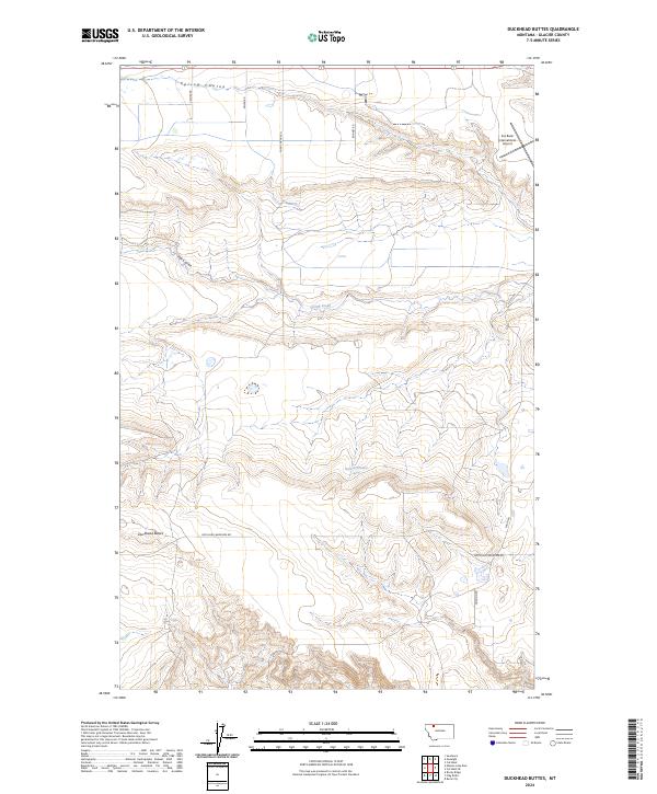
2024 Map of Duckhead Buttes
USGS Topo · Published 2024About this map
Duckhead Buttes rise above the high plains of Glacier County in this contemporary survey of the Montana landscape. The area is characterized by a network of drainage features including Spring Coulee, Flat Coulee, and Spring Creek, which carve through the township and range grid. The local infrastructure is largely defined by rural section-line roads such as Sather Rd, Miller Rd, and Shady Grove Rd, reflecting the enduring agricultural and ranching layout of the region.
Find a feature on this map
18 named features on this map. Tap any name to fly to it.
Don’t see what you’re looking for? This feature index may not catch every label — zoom into the map to look around manually.
Map Details
Editions of this 2024 Duckhead Buttes Map
This is the sole edition of this map. No revisions or reprints were ever made.
Other maps of this area

1907 · Blackfoot Res.
USGS Topo · 1:48,000

1909 · Cut Bank
USGS Topo · 1:125,000

1911 · Blackfoot
USGS Topo · 1:125,000

1912 · Cut Bank
USGS Topo · 1:125,000

1914 · Heart Butte
USGS Topo · 1:125,000

1918 · Heart Butte
USGS Topo · 1:125,000

1920 · Dupuyer
USGS Topo · 1:125,000

1934 · Lake Frances
USGS Topo · 1:48,000

1937 · Lake Frances
USGS Topo · 1:62,500

1960 · Cut Bank
USGS Topo · 1:250,000