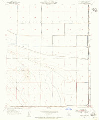
1954 Map of Dudley Ridge
USGS Topo · Published 1956About this map
The Tulare Lake Bed dominates the northern reaches of this central California landscape, defined by an intricate network of water management features during the mid-1950s. The region is heavily engineered to reclaim and manage the former lake bottom, as seen through the Blakeley Canal, Cohn Levee, and the Wilbur Ditch. These irrigation and drainage works reveal the transformation of the Kings County terrain into productive agricultural land. To the south, the topography rises into Dudley Ridge, where the map documents local activity at Houser Camp and West Camp. The presence of a Pipe Line and several Wells suggests the burgeoning industrial footprint of resource extraction alongside the established canal system. Of particular interest to researchers is the Abandoned Ditch, providing evidence of previous attempts to channel water through this shifting environment.
Find a feature on this map
18 named features on this map. Tap any name to fly to it.
Don’t see what you’re looking for? This feature index may not catch every label — zoom into the map to look around manually.
Map Details
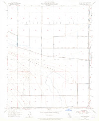
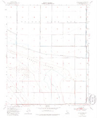
Editions of this 1954 Dudley Ridge Map
3 editions found
Other maps of this area

1914 · Lost Hills
USGS Topo · 1:125,000

1930 · Avenal Gap
USGS Topo · 1:31,680

1930 · Middle Dome
USGS Topo · 1:31,680

1931 · Harvester
USGS Topo · 1:31,680

1932 · El Rico Ranch
USGS Topo · 1:31,680

1932 · Dudley Ridge
USGS Topo · 1:31,680

1932 · West Camp
USGS Topo · 1:31,680

1932 · Lone Tree Well
USGS Topo · 1:31,680

1933 · Avenal Gap
USGS Topo · 1:31,680

1933 · Kettleman City
USGS Topo · 1:31,680