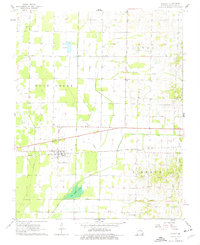
1962 Map of Dudley
USGS Topo · Published 1977About this map
The town of Dudley anchors this Stoddard County landscape, situated along the Missouri Pacific railroad line during the early 1960s. The region is defined by an extensive network of drainage infrastructure, including the Dudley Main Ditch and Cypress Lateral No 1, which reflect the area's historical transition from wetlands like the Glades Swamp into productive agricultural land. Genealogy researchers will find several well-documented burial sites such as Dudley Cem, Old Bethel Cem, and the Armstead-Dowdy Cem. Local landmarks like the Fish Hatchery and Roadside Park appear alongside smaller settlements like Aid and Redd. The terrain is bounded by the Castor River and Cane Creek, where local congregations met at Cane Creek Ch and Sadler Chapel.
Find a feature on this map
30 named features on this map. Tap any name to fly to it.
Don’t see what you’re looking for? This feature index may not catch every label — zoom into the map to look around manually.
Map Details
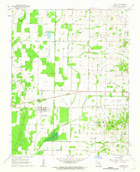
Editions of this 1962 Dudley Map
2 editions found
Other maps of this area

1934 · Bloomfield
USGS Topo · 1:62,500

1934 · Puxico
USGS Topo · 1:62,500

1939 · Bloomfield
USGS Topo · 1:62,500

1939 · Puxico
USGS Topo · 1:62,500

1940 · Malden
USGS Topo · 1:62,500

1940 · Valley Ridge
USGS Topo · 1:62,500

1949 · Bloomfield
USGS Topo · 1:62,500

1956 · Valley Ridge
USGS Topo · 1:62,500

1956 · Malden
USGS Topo · 1:62,500

1956 · Dyersburg
USGS Topo · 1:250,000