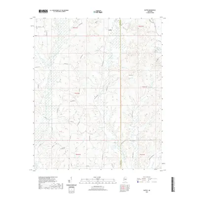
2020 Map of Duffee
USGS Topo · Published 2020About this map
Duffee sits along the eastern edge of Newton County near the Lauderdale County line, characterized by a complex drainage network that defines the local landscape. The headwaters of Tallashua Creek and its various tributaries, including Little Rock Cr and Sand Cr, carve through the terrain, while Daniel Lake provides a central water feature in the southern half of the quadrangle. The map captures the rural residential patterns of the area, where winding roads like Chunky Duffee Rd and Center Ridge Rd connect dispersed homesteads and family cemeteries.
Find a feature on this map
52 named features on this map. Tap any name to fly to it.
Don’t see what you’re looking for? This feature index may not catch every label — zoom into the map to look around manually.
Map Details
Editions of this 2020 Duffee Map
This is the sole edition of this map. No revisions or reprints were ever made.
Other maps of this area

1953 · Meridian
USGS Topo · 1:250,000

1957 · Meridian
USGS Topo · 1:250,000

1957 · Chunky
USGS Topo · 1:62,500

1962 · Center Hill
USGS Topo · 1:24,000

1962 · Post
USGS Topo · 1:24,000

1965 · Meridian
USGS Topo · 1:250,000

1966 · Hickory
USGS Topo · 1:24,000

1966 · Decatur
USGS Topo · 1:24,000

1972 · Union East
USGS Topo · 1:24,000

1982 · Meehan
USGS Topo · 1:24,000