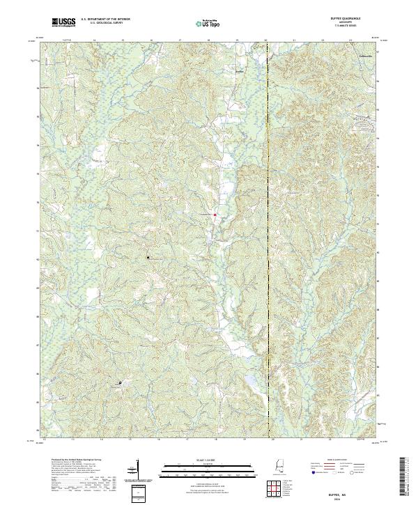
2024 Map of Duffee
USGS Topo · Published 2024About this map
The community of Duffee sits along the northern edge of this landscape, marking the transition between the rolling uplands and the complex drainage networks of central Mississippi. The terrain is defined by a dense web of waterways, most notably Tallahatta Creek and its many tributaries like Little Rock Creek and Sand Branch. This area, straddling the border between Newton and Lauderdale Counties, maintains a rural character dominated by timberland and small family-named road networks.
Find a feature on this map
51 named features on this map. Tap any name to fly to it.
Don’t see what you’re looking for? This feature index may not catch every label — zoom into the map to look around manually.
Map Details
Editions of this 2024 Duffee Map
This is the sole edition of this map. No revisions or reprints were ever made.
Other maps of this area

1953 · Meridian
USGS Topo · 1:250,000

1957 · Meridian
USGS Topo · 1:250,000

1957 · Chunky
USGS Topo · 1:62,500

1962 · Center Hill
USGS Topo · 1:24,000

1962 · Post
USGS Topo · 1:24,000

1965 · Meridian
USGS Topo · 1:250,000

1966 · Hickory
USGS Topo · 1:24,000

1966 · Decatur
USGS Topo · 1:24,000

1972 · Union East
USGS Topo · 1:24,000

1982 · Meehan
USGS Topo · 1:24,000