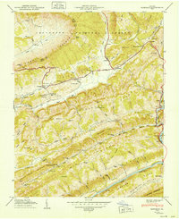
1950 Map of Duffield
USGS Topo · Published 1950About this map
Powell Mountain and the Jefferson National Forest dominate the northern landscape of this Virginia survey, where the Southern railroad carves a path through the valley at Duffield. The map reveals a dense network of family history markers, particularly the numerous cemeteries such as Willis Campbell Cem and Sproles Cem that dot the ridges. The landscape is defined by its deep ridges and valleys, with Back Valley and Purchase Valley providing the primary corridors for settlement and small schools like Pattonsville Sch and Purchase Sch.
Find a feature on this map
110 named features on this map. Tap any name to fly to it.
Don’t see what you’re looking for? This feature index may not catch every label — zoom into the map to look around manually.
Map Details
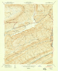
Editions of this 1950 Duffield Map
2 editions found
Other maps of this area

1894 · Estillville
USGS Topo · 1:125,000

1920 · Wise
USGS Topo · 1:48,000

1921 · Big Stone Gap
USGS Topo · 1:48,000

1921 · Wise
USGS Topo · 1:62,500

1922 · Big Stone Gap
USGS Topo · 1:62,500

1929 · Big Stone Gap
USGS Topo · 1:62,500

1935 · Moggasin
USGS Topo · 1:48,000

1935 · Looneys Gap
USGS Topo · 1:24,000

1935 · East Stone Gap
USGS Topo · 1:24,000
1935 · Keokee
USGS Topo · 1:24,000