
1949 Map of Duford
USGS Topo · Published 1949About this map
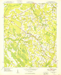
Floyds Crossroads and the settlement of Duford anchor this agricultural landscape along the South Carolina and North Carolina border. The terrain is defined by a dense network of swampy bays and low-lying drainages, including Cartwheel Bay, Big Bay, and Mossy Bay, which dictate the placement of roads and farmsteads. This 1949 edition, based on earlier aerial photography and 1948 field methods, reveals a community deeply rooted in its local institutions, evidenced by the numerous small schools and churches scattered throughout the rural sections.
Find a feature on this map
50 named features on this map. Tap any name to fly to it.
Don’t see what you’re looking for? This feature index may not catch every label — zoom into the map to look around manually.
Map Details
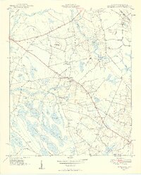
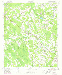
Editions of this 1949 Duford Map
4 editions found
Other maps of this area

1943 · Pages Mill
USGS Topo · 1:62,500

1948 · Galivants Ferry
USGS Topo · 1:24,000

1948 · Nichols
USGS Topo · 1:24,000

1948 · Bayboro
USGS Topo · 1:24,000

1949 · Bayboro
USGS Topo · 1:24,000

1950 · Galivants Ferry
USGS Topo · 1:24,000

1950 · Nichols
USGS Topo · 1:24,000

1953 · Chadbourn
USGS Topo · 1:62,500

1953 · Florence
USGS Topo · 1:250,000

1954 · Florence
USGS Topo · 1:250,000