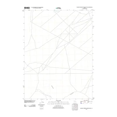
2010 Map of Dugway Proving Ground SW
USGS Topo · Published 2010About this map
Dugway Range and the surrounding desert landscape are the primary focus of this modern survey within the military installation. The map documents a sparsely populated area characterized by a network of unimproved roads and geographic landmarks such as Bullion Canyon. The terrain is marked by the presence of Stark Rd in the northeastern corner, indicating a managed environment typical of the remote interior of the proving ground. The absence of traditional settlements or cemeteries reflects the restricted nature of the site, providing a clear record of the specialized land use and infrastructure required for government operations in the early 21st century.
Find a feature on this map
3 named features on this map. Tap any name to fly to it.
Don’t see what you’re looking for? This feature index may not catch every label — zoom into the map to look around manually.
Map Details
Editions of this 2010 Dugway Proving Ground SW Map
This is the sole edition of this map. No revisions or reprints were ever made.
Other maps of this area

1908 · Fish Springs
USGS Topo · 1:250,000

1910 · Fish Springs
USGS Topo · 1:250,000

1953 · Dugway Range NE
USGS Topo · 1:24,000

1953 · Dugway Range
USGS Topo · 1:62,500

1953 · Dugway Range NW
USGS Topo · 1:24,000

1953 · Tooele
USGS Topo · 1:250,000

1953 · Delta
USGS Topo · 1:250,000

1954 · Dugway Proving Ground SE
USGS Topo · 1:24,000

1954 · Dugway Proving Ground NE
USGS Topo · 1:24,000

1954 · Granite Peak
USGS Topo · 1:24,000