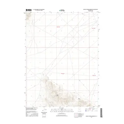
2017 Map of Dugway Proving Ground SW
USGS Topo · Published 2017About this map
The Dugway Range dominates the southern portion of this high-desert landscape in Tooele County, rising sharply above the surrounding salt flats and basins. This 2017 survey details a remote section of the Great Basin where the rugged topography of Bullion Canyon intersects with the restricted lands of the proving ground. The mapping reflects a mix of natural landforms and modern military infrastructure, defined by a sparse network of service roads and designated routes. Named access points like Stark Rd and established trails such as Tc02791 and Tc02794 provide the only navigable paths through the grid-defined townships. For those researching the history of western military reservations or the geological isolation of the Dugway Proving Ground, this map serves as a contemporary record of how this stark environment is managed and accessed.
Find a feature on this map
10 named features on this map. Tap any name to fly to it.
Don’t see what you’re looking for? This feature index may not catch every label — zoom into the map to look around manually.
Map Details
Editions of this 2017 Dugway Proving Ground SW Map
This is the sole edition of this map. No revisions or reprints were ever made.
Other maps of this area

1908 · Fish Springs
USGS Topo · 1:250,000

1910 · Fish Springs
USGS Topo · 1:250,000

1953 · Dugway Range NE
USGS Topo · 1:24,000

1953 · Dugway Range
USGS Topo · 1:62,500

1953 · Dugway Range NW
USGS Topo · 1:24,000

1953 · Tooele
USGS Topo · 1:250,000

1953 · Delta
USGS Topo · 1:250,000

1954 · Dugway Proving Ground SE
USGS Topo · 1:24,000

1954 · Dugway Proving Ground NE
USGS Topo · 1:24,000

1954 · Granite Peak
USGS Topo · 1:24,000