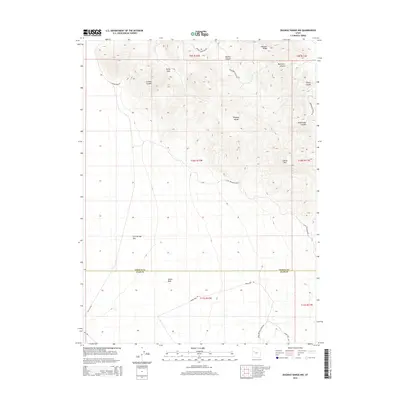
2014 Map of Dugway Range NW
USGS Topo · Published 2014About this map
Geode Beds and the high desert terrain of the Dugway Range dominate this 2014 survey along the boundary of Tooele and Juab Counties. The map captures a landscape shaped by geological interest and pioneer history, where the wide expanse of Fish Springs Flat transitions into steep canyons and ridges. In the northern reaches, Hanauer Ridge and Bullion Canyon suggest a history of prospecting, further evidenced by the path of Cannon Mine Rd.
Find a feature on this map
27 named features on this map. Tap any name to fly to it.
Don’t see what you’re looking for? This feature index may not catch every label — zoom into the map to look around manually.
Map Details
Editions of this 2014 Dugway Range NW Map
This is the sole edition of this map. No revisions or reprints were ever made.
Other maps of this area

1908 · Fish Springs
USGS Topo · 1:250,000

1910 · Fish Springs
USGS Topo · 1:250,000

1953 · Dugway Range NE
USGS Topo · 1:24,000

1953 · Dugway Pass
USGS Topo · 1:24,000

1953 · Dugway Range
USGS Topo · 1:62,500

1953 · Dugway Range NW
USGS Topo · 1:24,000

1953 · Tooele
USGS Topo · 1:250,000

1953 · Delta
USGS Topo · 1:250,000

1954 · Dugway Proving Ground SE
USGS Topo · 1:24,000

1954 · Dugway Proving Ground SW
USGS Topo · 1:24,000