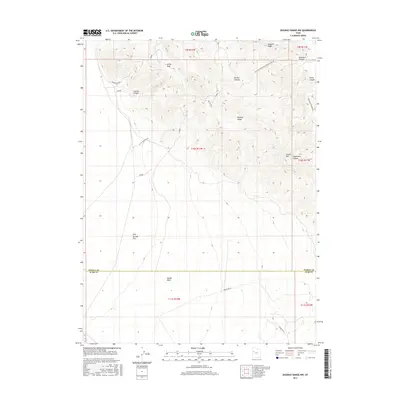
2017 Map of Dugway Range NW
USGS Topo · Published 2017About this map
Geode Beds define the southern landscape of this high-desert terrain where the boundary between Tooele and Juab counties cuts across the arid floor. The northern half is dominated by the steep rises of the Dugway Range, marked by deep cuts like Bullion Canyon and Buckhorn Canyon. This area reflects a history of mineral exploration and rugged access, evidenced by a network of specialized routes including the Cannon Mine Rd and the Buckhorn Canyon & Rainbow Mine Rd. Between the mountain peaks and the lower Fish Springs Flat, landmarks such as Kellys Hole and Castle Mtn provide essential reference points in a region where the natural topography dictates every path and potential claim.
Find a feature on this map
24 named features on this map. Tap any name to fly to it.
Don’t see what you’re looking for? This feature index may not catch every label — zoom into the map to look around manually.
Map Details
Editions of this 2017 Dugway Range NW Map
This is the sole edition of this map. No revisions or reprints were ever made.
Other maps of this area

1908 · Fish Springs
USGS Topo · 1:250,000

1910 · Fish Springs
USGS Topo · 1:250,000

1953 · Dugway Range NE
USGS Topo · 1:24,000

1953 · Dugway Pass
USGS Topo · 1:24,000

1953 · Dugway Range
USGS Topo · 1:62,500

1953 · Dugway Range NW
USGS Topo · 1:24,000

1953 · Tooele
USGS Topo · 1:250,000

1953 · Delta
USGS Topo · 1:250,000

1954 · Dugway Proving Ground SE
USGS Topo · 1:24,000

1954 · Dugway Proving Ground SW
USGS Topo · 1:24,000