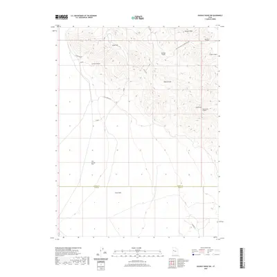
2020 Map of Dugway Range NW
USGS Topo · Published 2020About this map
The Geode Beds at the southern end of the Dugway Range characterize this arid landscape, where the boundary between Tooele and Juab counties crosses through high desert terrain. Local mining history is evident in the network of unimproved roads that trace the topography, including Cannon Mine Rd and the Buckhorn Canyon & Rainbow Mine Rd, which suggest the area's legacy of mineral exploration and extraction. The land transitions from the high peaks of Castle Mtn and Hanauer Ridge down into the expansive Fish Springs Flat. Notable geological depressions and corridors like Kellys Hole, Cannon Canyon, and Bullion Canyon provide insight into the natural drainage and land use patterns of this remote western Utah region.
Find a feature on this map
16 named features on this map. Tap any name to fly to it.
Don’t see what you’re looking for? This feature index may not catch every label — zoom into the map to look around manually.
Map Details
Editions of this 2020 Dugway Range NW Map
This is the sole edition of this map. No revisions or reprints were ever made.
Other maps of this area

1908 · Fish Springs
USGS Topo · 1:250,000

1910 · Fish Springs
USGS Topo · 1:250,000

1953 · Dugway Range NE
USGS Topo · 1:24,000

1953 · Dugway Pass
USGS Topo · 1:24,000

1953 · Dugway Range
USGS Topo · 1:62,500

1953 · Dugway Range NW
USGS Topo · 1:24,000

1953 · Tooele
USGS Topo · 1:250,000

1953 · Delta
USGS Topo · 1:250,000

1954 · Dugway Proving Ground SE
USGS Topo · 1:24,000

1954 · Dugway Proving Ground SW
USGS Topo · 1:24,000