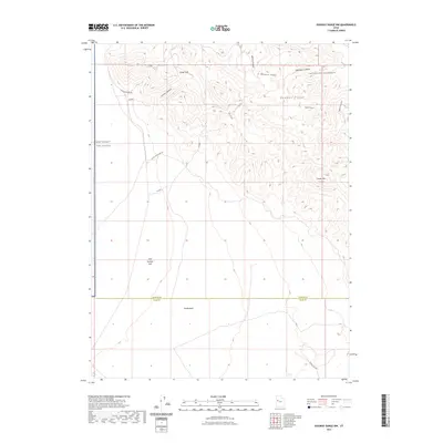
2023 Map of Dugway Range NW
USGS Topo · Published 2023About this map
Dugway Range dominates this corner of the Great Salt Lake Desert, where the complex geology of the eastern Basin and Range is on display. The landscape is defined by the sharp transition from the elevated Hanauer Ridge and Castle Mtn down to the vast expanse of Fish Springs Flat. Resource extraction and geological interest are evident in the presence of the Geode Beds and primitive routes like Buckhorn Canyon & Rainbow Mine Rd and Cannon Mine Rd, which hint at a history of prospecting and mineral hunting.
Find a feature on this map
17 named features on this map. Tap any name to fly to it.
Don’t see what you’re looking for? This feature index may not catch every label — zoom into the map to look around manually.
Map Details
Editions of this 2023 Dugway Range NW Map
This is the sole edition of this map. No revisions or reprints were ever made.
Other maps of this area

1908 · Fish Springs
USGS Topo · 1:250,000

1910 · Fish Springs
USGS Topo · 1:250,000

1953 · Dugway Range NE
USGS Topo · 1:24,000

1953 · Dugway Pass
USGS Topo · 1:24,000

1953 · Dugway Range
USGS Topo · 1:62,500

1953 · Dugway Range NW
USGS Topo · 1:24,000

1953 · Tooele
USGS Topo · 1:250,000

1953 · Delta
USGS Topo · 1:250,000

1954 · Dugway Proving Ground SE
USGS Topo · 1:24,000

1954 · Dugway Proving Ground SW
USGS Topo · 1:24,000