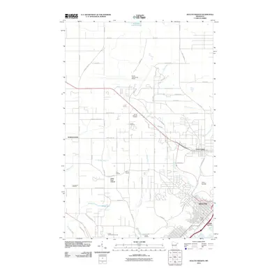
2010 Map of Duluth Heights
USGS Topo · Published 2010About this map
Duluth and its surrounding heights appear here in a period of established infrastructure and suburban transition. The landscape is defined by the sharp descent toward the lake, with the Missabe Junction rail area anchoring the southern industrial fringe near Oneota Cemetery. Higher up on the plateau, Hermantown and the Duluth Heights neighborhood show a grid of residential development interspersed with numerous community landmarks.
Find a feature on this map
54 named features on this map. Tap any name to fly to it.
Don’t see what you’re looking for? This feature index may not catch every label — zoom into the map to look around manually.
Map Details
Editions of this 2010 Duluth Heights Map
This is the sole edition of this map. No revisions or reprints were ever made.
Other maps of this area

1895 · Duluth
USGS Topo · 1:62,500

1915 · Superior
USGS Topo · 1:48,000

1917 · Superior
USGS Topo · 1:62,500

1953 · Twig
USGS Topo · 1:24,000

1953 · Adolph
USGS Topo · 1:24,000

1953 · Arnold
USGS Topo · 1:24,000

1953 · Duluth
USGS Topo · 1:24,000

1953 · Duluth Heights
USGS Topo · 1:24,000

1953 · Fredenberg
USGS Topo · 1:24,000

1953 · Duluth
USGS Topo · 1:62,500