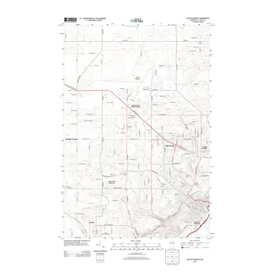
2013 Map of Duluth Heights
USGS Topo · Published 2013About this map
Duluth International Airport dominates the central plateau of this survey, serving as a modern hub for the region. To the south and west, the landscape transitions into the residential and industrial corridors of Hermantown and Proctor, where the terrain begins to drop toward the Saint Louis River. The map captures a detailed view of urban expansion, from the Birchwood Mobile Estates to the established neighborhoods of Duluth Heights.
Find a feature on this map
81 named features on this map. Tap any name to fly to it.
Don’t see what you’re looking for? This feature index may not catch every label — zoom into the map to look around manually.
Map Details
Editions of this 2013 Duluth Heights Map
This is the sole edition of this map. No revisions or reprints were ever made.
Other maps of this area

1895 · Duluth
USGS Topo · 1:62,500

1915 · Superior
USGS Topo · 1:48,000

1917 · Superior
USGS Topo · 1:62,500

1953 · Twig
USGS Topo · 1:24,000

1953 · Adolph
USGS Topo · 1:24,000

1953 · Arnold
USGS Topo · 1:24,000

1953 · Duluth
USGS Topo · 1:24,000

1953 · Duluth Heights
USGS Topo · 1:24,000

1953 · Fredenberg
USGS Topo · 1:24,000

1953 · Duluth
USGS Topo · 1:62,500