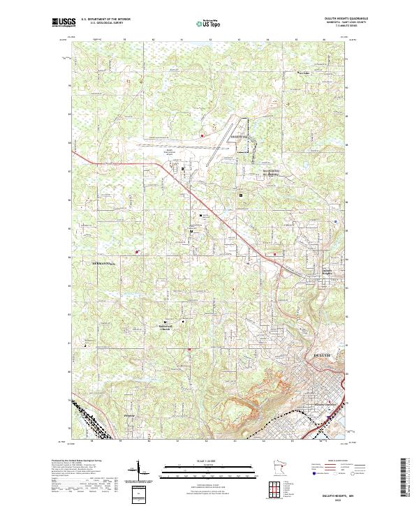
2022 Map of Duluth Heights
USGS Topo · Published 2022About this map
Duluth International Airport dominates the northern landscape of this St. Louis County region, illustrating the modern spatial footprint of aviation infrastructure alongside the residential expansion of Hermantown and Rice Lake. The map reveals a dense concentration of local history markers, particularly the cluster of cemeteries including Sunrise Memorial Cem, Shaara Tzedek Cem, and Union Cem which serve as enduring links to the area's ancestral populations. As the terrain descends toward Duluth and the shoreline of Lake Superior, the importance of water management is evident through the network of local drainages like Miller Cr and Keene Cr. In the southern reaches, the industrial and transport heritage of the region is anchored by Missabe Junction and the community of Proctor, highlighting the historical intersection of rail lines and early township boundaries.
Find a feature on this map
195 named features on this map. Tap any name to fly to it.
Don’t see what you’re looking for? This feature index may not catch every label — zoom into the map to look around manually.
Map Details
Editions of this 2022 Duluth Heights Map
This is the sole edition of this map. No revisions or reprints were ever made.
Other maps of this area

1895 · Duluth
USGS Topo · 1:62,500

1915 · Superior
USGS Topo · 1:48,000

1917 · Superior
USGS Topo · 1:62,500

1953 · Twig
USGS Topo · 1:24,000

1953 · Adolph
USGS Topo · 1:24,000

1953 · Arnold
USGS Topo · 1:24,000

1953 · Duluth
USGS Topo · 1:24,000

1953 · Duluth Heights
USGS Topo · 1:24,000

1953 · Fredenberg
USGS Topo · 1:24,000

1953 · Duluth
USGS Topo · 1:62,500