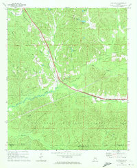
1969 Map of Duncanville
USGS Topo · Published 1972About this map
Duncanville serves as the central hub for this portion of Tuscaloosa County, situated at the intersection of local transportation routes in the late 1960s. The Gulf Mobile and Ohio railroad corridor dominates the central landscape, running northwest toward Tuscaloosa. This transit line is mirrored by remnants of former industrial activity, including an Old Railroad Grade that speaks to the area's timber and transport history. To the south, the boundary of the Talladega National Forest marks a shift into more densely wooded terrain, where Wiggins Creek and South Sandy Creek drain the interior. The map is particularly rich for genealogical research, documenting several rural community centers such as Mt Olive Ch and Mt Sinai Ch, each with its associated cemetery. Notable landmarks like the Shiloh Lookout Tower provide fixed points in the forest for monitoring this timber-rich region of Alabama.
Find a feature on this map
31 named features on this map. Tap any name to fly to it.
Don’t see what you’re looking for? This feature index may not catch every label — zoom into the map to look around manually.
Map Details
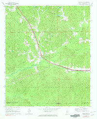
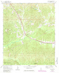
Editions of this 1969 Duncanville Map
Other maps of this area

1899 · Brookwood
USGS Topo · 1:125,000

1924 · Tuscaloosa
USGS Topo · 1:62,500

1926 · Tuscaloosa
USGS Topo · 1:62,500

1931 · Cottondale
USGS Topo · 1:48,000

1934 · Cottondale
USGS Topo · 1:62,500

1953 · Montgomery
USGS Topo · 1:250,000

1953 · Birmingham
USGS Topo · 1:250,000

1956 · Birmingham
USGS Topo · 1:250,000

1956 · Montgomery
USGS Topo · 1:250,000

1957 · Birmingham
USGS Topo · 1:250,000