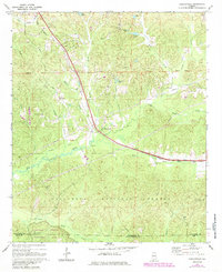
1969 Map of Duncanville
USGS Topo · Published 1985About this map
Duncanville serves as the central hub of this landscape, situated at the junction of several drainage systems and the Gulf Central Illinois Railroad. Much of the southern portion of the terrain is defined by the Talladega National Forest and the Oakmulgee Wildlife Management Area, where the Shiloh Lookout Tower stands as a prominent landmark. The network of watercourses, including Big Sandy Creek and Horse Creek, illustrates a heavily dissected topography typical of the region east of Tuscaloosa.
Find a feature on this map
37 named features on this map. Tap any name to fly to it.
Don’t see what you’re looking for? This feature index may not catch every label — zoom into the map to look around manually.
Map Details
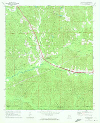
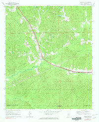
Editions of this 1969 Duncanville Map
Other maps of this area

1899 · Brookwood
USGS Topo · 1:125,000

1924 · Tuscaloosa
USGS Topo · 1:62,500

1926 · Tuscaloosa
USGS Topo · 1:62,500

1931 · Cottondale
USGS Topo · 1:48,000

1934 · Cottondale
USGS Topo · 1:62,500

1953 · Montgomery
USGS Topo · 1:250,000

1953 · Birmingham
USGS Topo · 1:250,000

1956 · Birmingham
USGS Topo · 1:250,000

1956 · Montgomery
USGS Topo · 1:250,000

1957 · Birmingham
USGS Topo · 1:250,000