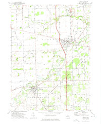
1972 Map of Dundee
USGS Topo · Published 1975About this map
The Raisin River meanders sharply through Monroe County in the early 1970s, anchoring the primary settlements of Dundee and Petersburg. This agricultural and industrial corridor is defined by a dense intersection of transport networks, where the Ann Arbor Railroad and the Detroit Toledo and Ironton Railroad cross the landscape alongside numerous rural flight strips like Gradolph Airfield and the Brewer Landing Strip.
Find a feature on this map
57 named features on this map. Tap any name to fly to it.
Don’t see what you’re looking for? This feature index may not catch every label — zoom into the map to look around manually.
Map Details
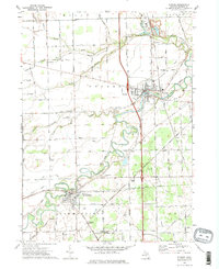
Editions of this 1972 Dundee Map
2 editions found
Other maps of this area

1902 · Ypsilanti
USGS Topo · 1:62,500

1904 · Ann Arbor
USGS Topo · 1:125,000

1906 · Ypsilanti
USGS Topo · 1:62,500

1906 · Saline
USGS Topo · 1:62,500

1908 · Ann Arbor
USGS Topo · 1:125,000

1912 · Dundee
USGS Topo · 1:62,500

1926 · Dundee
USGS Topo · 1:62,500

1936 · Samaria
USGS Topo · 1:31,680
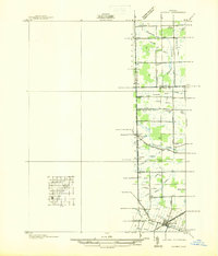
1936 · Maybee
USGS Topo · 1:31,680
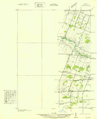
1936 · Ida
USGS Topo · 1:31,680